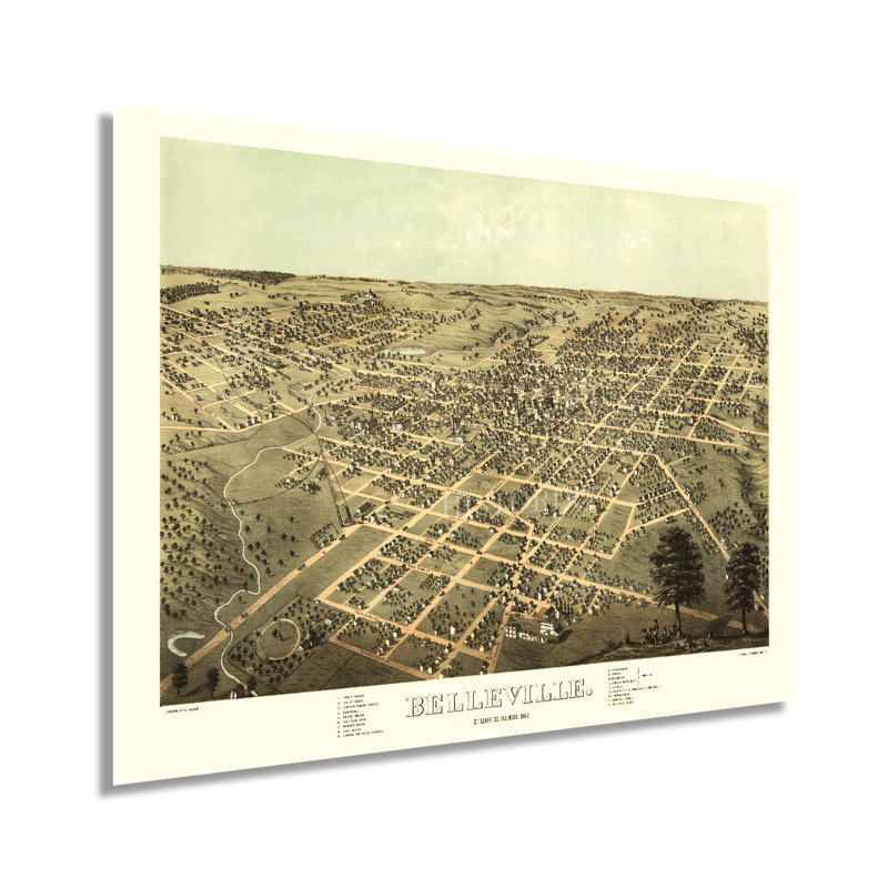
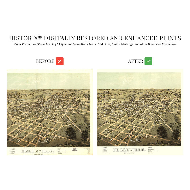
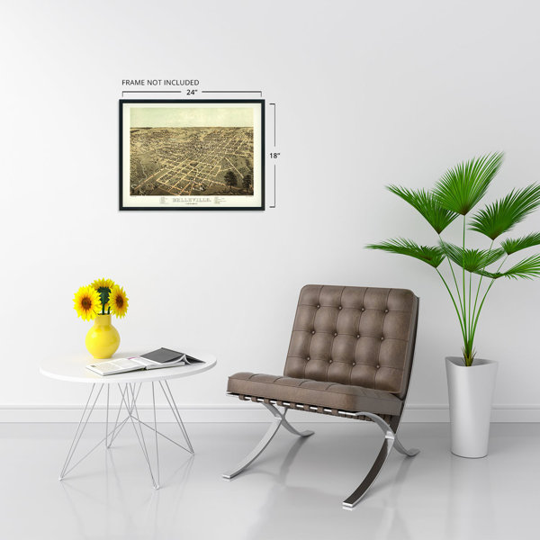
Produced and published by one of the early pioneers of the form, this birds eye perspective illustrates Belleville, Illinois, in a period of significant growth and prosperity in the years following the conclusion of the American Civil War. Albert Ruger began producing panoramic maps in the middle portions of the nineteenth century. They became widely popular marketing materials that promoted prominent civic features, religious and educational institutions, and other economic opportunities to attract residents and merchants alike. By 1867 the town had flourished with a large number of German immigrants flocking to the region and establishing farms around the city center. Belleville would experience another economic boom with the discovery of coal in the area in 1874. This discovery brought the railroad to Belleville, which further expanded immigration to the city and increased access. The majority of the immigrants to Belleville were well educated, and they established the first public library in Illinois as well as the first kindergarten in the nation. The city bears a range of nineteenth-century architectural styles and is listed on the National Register of Historic Places with more than seventy properties. As part of the St. Louis metroplex, the city maintained a robust manufacturing industry in the nineteenth and twentieth centuries.Birdseye perspectives bear a remarkable aesthetic and unique style that makes them immediately recognizable and transports the viewer back in time. This is an authentic piece of American cartographical history that depicts Belleville in a transformative moment in the city's rich history.Our museum quality giclee print comes printed with archival ink on premium heavyweight matte paper. Shipped in a sturdy cardboard tube your print will arrive ready to be framed. This eye-catching vintage map reproduction print makes the perfect gift for anyone that loves history and imagery.
 or
or