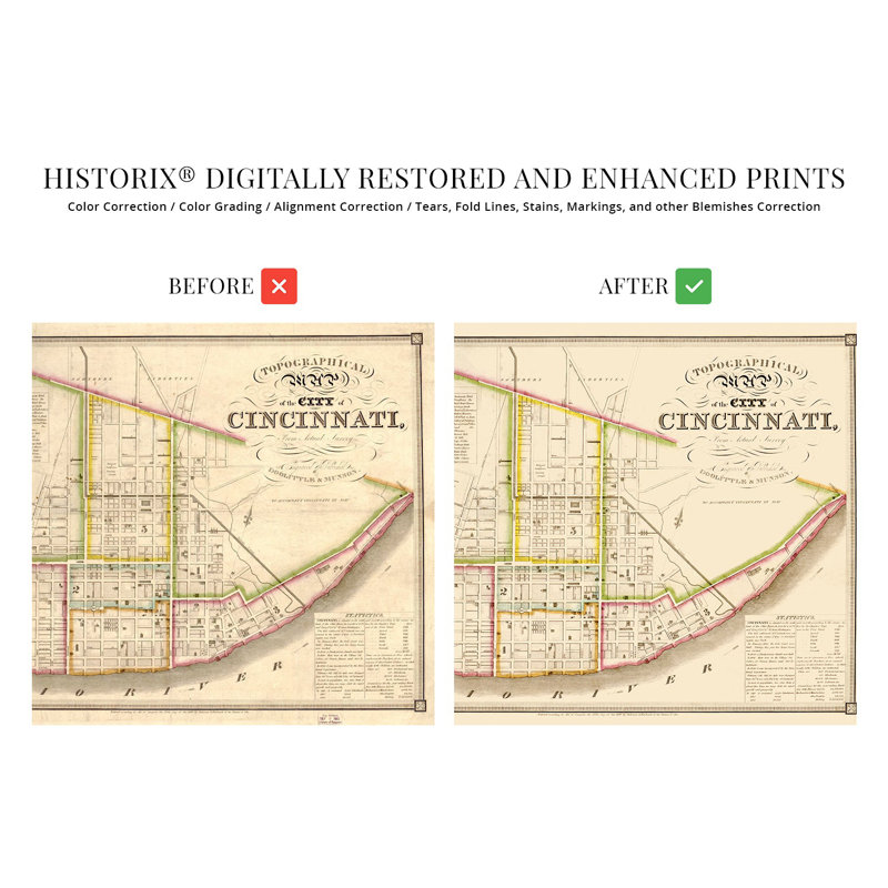
Located at the confluence of the Ohio and Licking Rivers, Cincinnati was experiencing significant growth, prosperity, and transformation during the 1840s. By 1841, when this map was produced, Cincinnati was the sixth-largest city in the United States, and immigrants flocked to the city from Western Europe, Germany, Italy, and Ireland. These immigrants founded communities and neighborhoods along cultural lines, many of which exist to this day. Engraved by prominent lithographers Doolittle & Munson, this unique piece of cartographical history shows the iconic mid-west city in one of its most significant periods. By the latter portion of the nineteenth century, Cincinnati was nicknamed the “Paris of America” due to ambitious architectural projects, including the Music Hall and Cincinnatian Hotel. The completion of the Erie Canal further increased expansion and access to the city from the East, and immigrants were being enticed by the flourishing economy and regional labor shortage. Cincinnati had established trade routes with St. Louis and New Orleans, which allowed for a thriving import and export trade. By 1850 the population had reached one hundred and fifteen thousand, and residents were referring to it as “The Queen City.”The distinctive style, ornate flourishes, and attention to detail, history, and the local economy distinguish this map and establish it as an authentic piece of cartographical history. Its unique aesthetic immediately transports the viewer back in time, creating an indelible bond between the past and present. Cincinnati was transforming rapidly during the 1840s, and this depiction is culturally and historically significant.Our museum quality giclee print comes printed with archival ink on premium heavyweight matte paper. Shipped in a sturdy cardboard tube your print will arrive ready to be framed. This eye-catching vintage map reproduction print makes the perfect gift for anyone.
 or
or