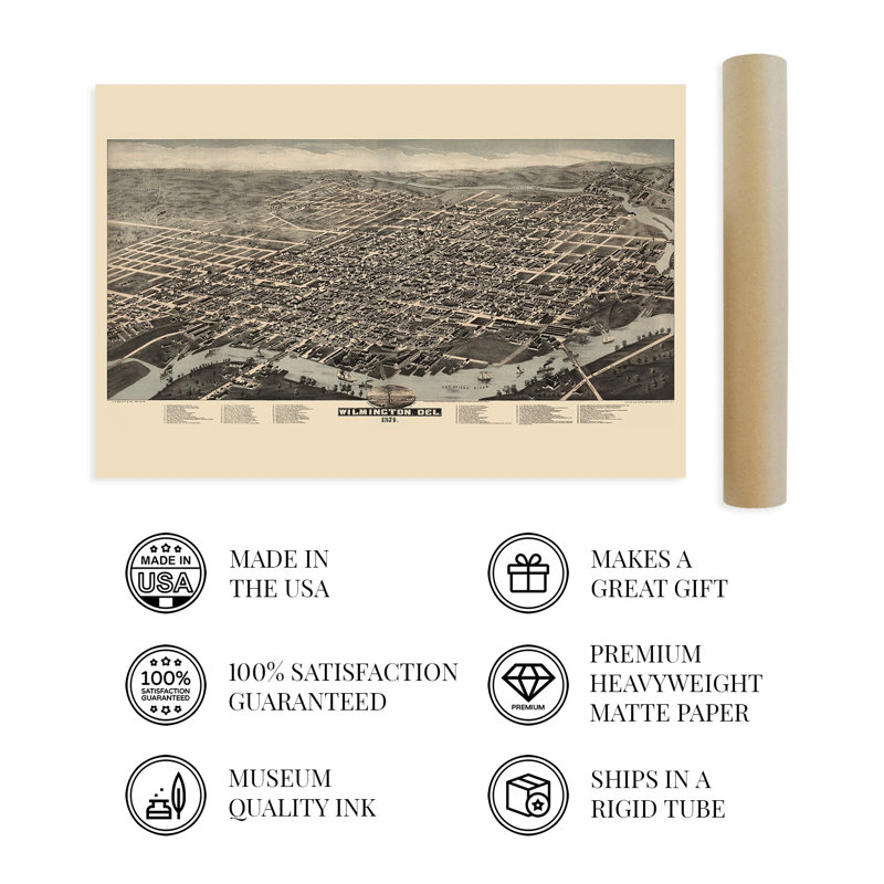
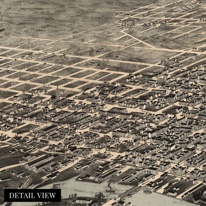
The site of the first Swedish settlement in America, Wilmington bears a distinctive place in the nation’s history and remains one of the most iconic cities on the East Coast. The most populous city in the state of Delaware, its location at the confluence of the Christina and Brandywine Rivers, whose banks are now home to the famous riverwalk. By the late nineteenth century, the city remained an economic hub within the Delaware Valley and had enjoyed a period of significant prosperity in the years following the conclusion of the American Civil War. In 1664 the British began colonizing the city, which led to brief battles in the area with the Dutch. Panoramic maps were widely popular during the nineteenth and early twentieth centuries and bear a distinctive aesthetic. Their characteristic style immediately transports the viewer back in time, creating an indelible bond between the past and present. Produced and published by the H.H. Bailey company, this stunning birds-eye perspective contains considerable detail and artistic flourishes. They served as marketing materials to attract residents and merchants alike and featured prominent civic and economic opportunities. By the 1870s, Wilmington remained one of the largest producers of iron ships, gunpowder, and leather goods. Wealthy industrialists and merchants constructed large homes on wide avenues with Victorian architecture that remain to this day.This authentic piece of cartographical history depicts the city as the nation rebuilt after the end of the Civil War, and numerous Southerners established communities across the mid-Atlantic seaboard.Our museum quality giclee print comes printed with archival ink on premium heavyweight matte paper. Shipped in a sturdy cardboard tube your print will arrive ready to be framed. This eye-catching vintage map reproduction print makes the perfect gift for anyone that loves history and imagery.


 or