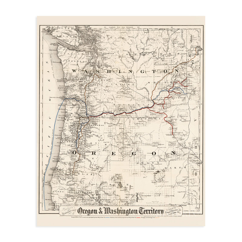
The Colton family were prolific mapmakers in the 19th century, and their distinctive style and recognizable aesthetic transport the viewer back in time. This depiction of the Washington and Oregon territories published in 1880 is no different. The Oregon Railway and Navigation Company had been founded the year before this map’s publication. They would remain in operation until 1910 when Union Pacific would absorb the company and complete their dominance as the rail provider on the West Coast. With the completion of these lines, the region was able to enjoy access to the eastern reaches of the United States and transport valuable raw materials out. With this greater access, the two ports in Seattle and Portland respectively were allowed to start competing with the principal port in San Francisco to their south. The region’s primary economic driver at this time was lumber, though in the next decade the Yukon Gold Rush would transform the landscape, and culture forever. The Southwest portion of the territory had been admitted to the Union in 1859, while Washington would have to wait until 1889 to receive statehood. Settlements in the East were primarily agricultural, and Christian missionary’s flocked to this region. This piety was in stark contrast to the western reaches of the territory, which were considered wild frontiers with sailors arriving en masse and cultures merging. The rich history of the region has been well documented since Lewis and Clark reached the Pacific Ocean in the Northwest in 1806.


 or