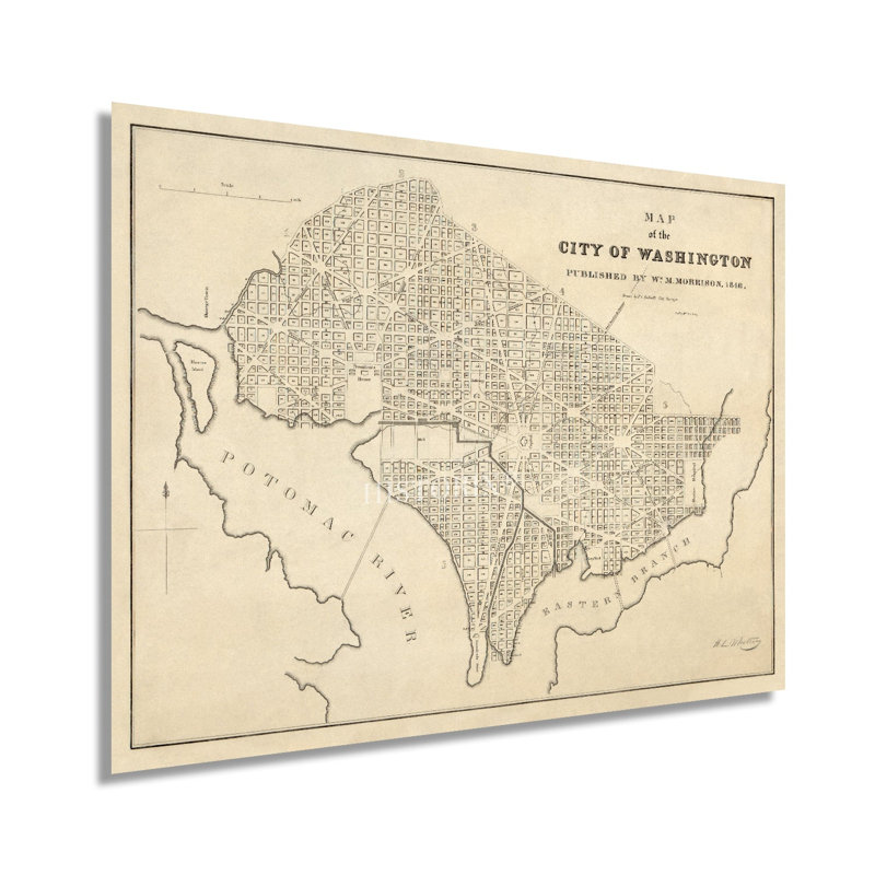
Produced by the prolific Prussian surveyor John Charles de Krafft, this minimal depiction of Washington D.C. shows the city in a period of significant growth and transformation as the nation grew and expanded. De Krafft immigrated to America in 1778 and began working as a surveyor for prominent clients, including Thomas Jefferson, the Penn family, and Robert Morris. De Krafft produced original surveys across the American Eastern seaboard and worked with Pierre L’Enfant to create the initial survey and mapping of the District of Columbia. His work is considered among the most important mapping of the United States during the early part of the nineteenth century.The District of Columbia was established on July 9, 1790, following the conclusion of the American Revolution. Built on the northern banks of the iconic Potomac River, Congress passed the Organic Act of 1801, which established the official boundaries and put the entire territory under control of the federal government. The mid-nineteenth century saw the city experience population growth as work for the government drew residents and advances in rail lines expanded access. British forces had invaded the city in the War of 1812, and the Capitol, Treasury, and White House were gutted and burned. Rebuilding was rapid, and by the time of this publication, Washington DC had returned to a period of prosperity. The unique aesthetic and distinctive style immediately transports the viewer back in time, creating an indelible bond between the past and present in this authentic piece of cartographical history.Our museum quality giclee print comes printed with archival ink on premium heavyweight matte paper.


 or