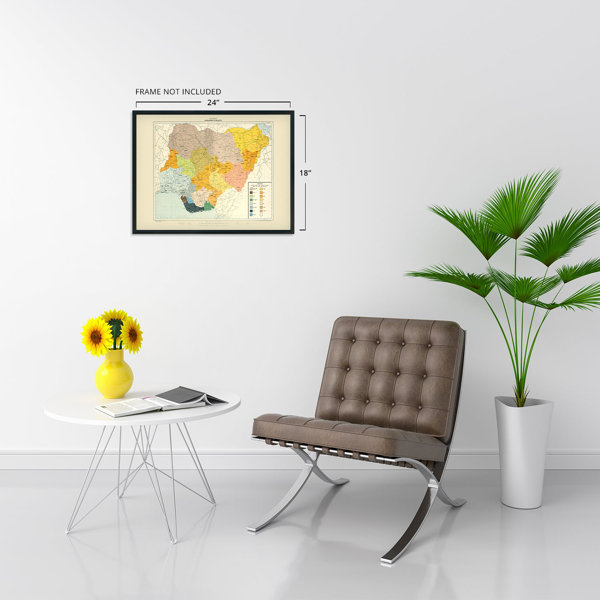
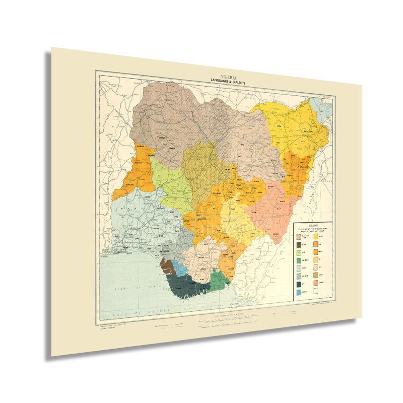
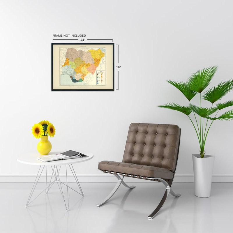
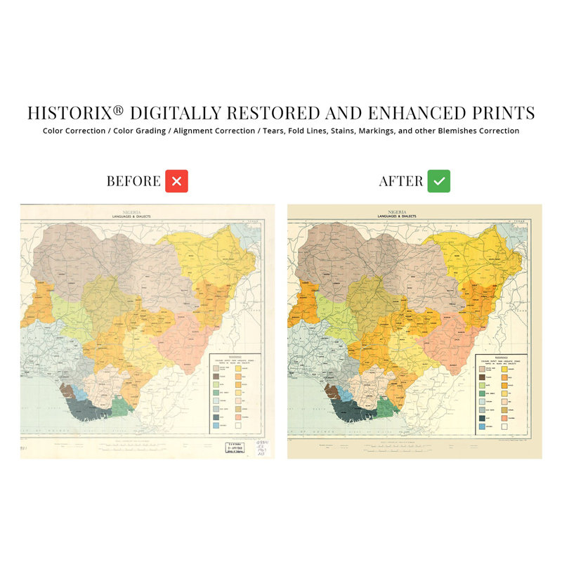
Published only four years after Nigeria gained independence from British Colonial rule, and in the same year as the Republic of Biafra declared itself a free state from Nigeria, resulting in the Nigerian Civil War outbreak. This period marked rapid political, cultural, and economic transitions as the new nation navigated elections, installed new governance forms, and developed an international economy. This map shows the distinct cultures that have existed in the country for centuries and had been shaped by colonial rule, which did not account for previously established tribal lines, languages, as well as traditions, and values. Nigeria has become an economic and cultural center for Western Africa and is the most populous country. The discovery of oil in the 1970s led to a period of economic growth as the nation joined OPEC and began exporting to major markets across the globe. This language map is distinct as more than two hundred and fifty unique ethnic groups speak more than five hundred languages which have created challenges for national unification. Due to this incredible diversity, Nigeria officially adopted English as its national language in an attempt to provide linguistic unification. The color coding and unique aesthetic of this production distinguish it from other geopolitical maps due to its primary function to demonstrate nuanced cultural divisions to help political leaders develop and implement domestic policy. The Giant of Africa is shown in of the most influential periods in its already rich history, and this is authentic African cartographical history.Our museum quality giclee print comes printed with archival ink on premium heavyweight matte paper. Shipped in a sturdy cardboard tube your print will arrive ready to be framed. This eye-catching vintage map reproduction print makes the perfect gift for anyone that loves history and imagery.