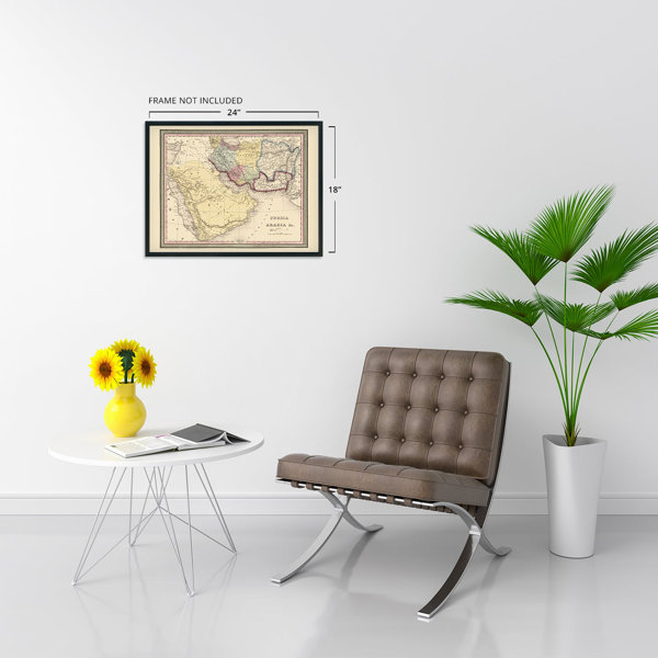
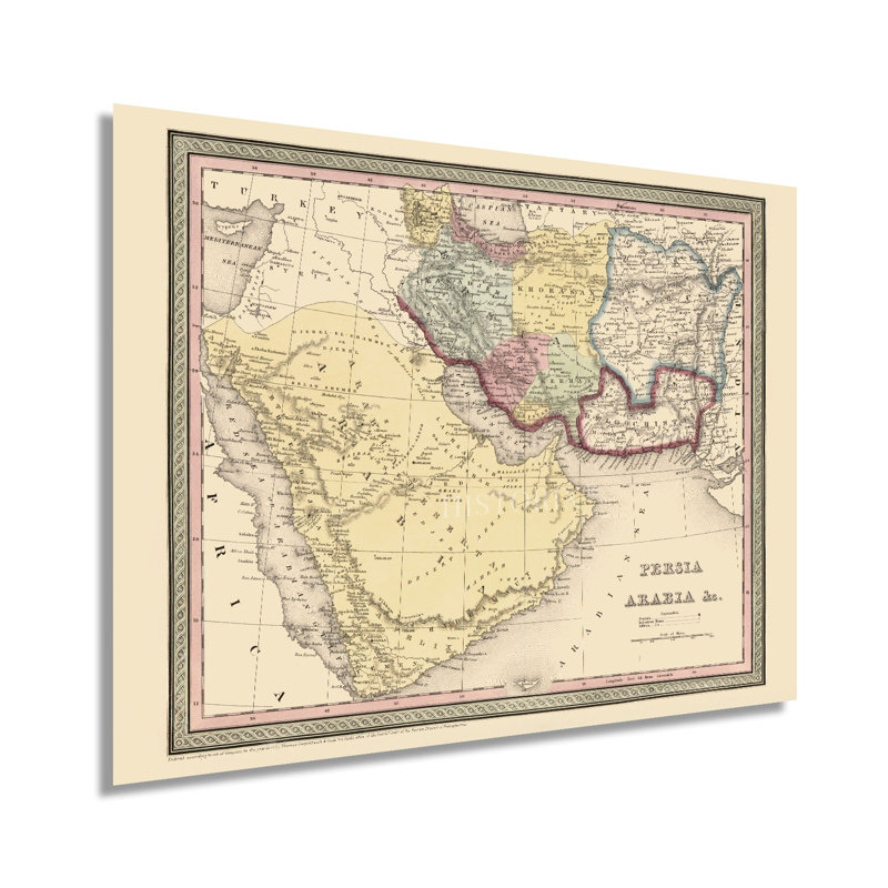
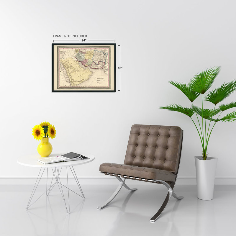
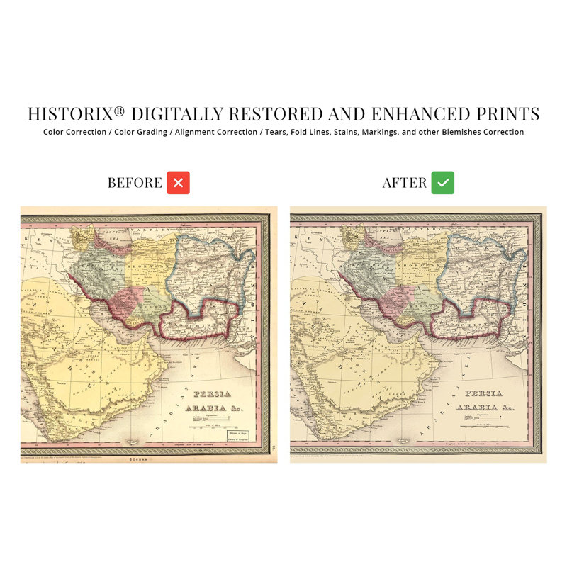
Published by prominent Philadelphia-based Thomas, Cowperthwait & Co., this classic depiction of the Arabian Peninsula and Persian Empire in the middle of the nineteenth century bears a distinctive style that is immediately recognizable and transports the viewer back in time. The Persian Empire is now modern-day Iran and has a rich history, and the region has been inhabited for more than one hundred thousand years. However, the rise of Islam in the seventh century has come to shape the area culturally and politically into modern times. Throughout history, the region has contributed significantly to art and science, and Persian literature is considered one of the world’s most prominent traditions. Because trade between Asia and Europe took overland routes for much of the Middle Ages, the region advanced the spread of knowledge, agricultural products, and spiritual philosophies. The region is home to some of the most sacred holy sites in the world in eluding Mecca and Medina, which remain central to Islamic traditions. By the middle portion of the nineteenth century, the overland trade routes had been superseded by sailing vessels as circumnavigation around South America and Africa allowed goods to be transported to internationally. The region was never largely colonized though it does bear a distinct culture that is representative of its surrounding nations. The decades following the publication of this map saw significant expansion and the completion of the Hejaz Railway in 1900 spurred even further access throughout the area. This is an authentic piece of cartographical history with a classic aesthetic.Our museum quality giclee print comes printed with archival ink on premium heavyweight matte paper. Shipped in a sturdy cardboard tube your print will arrive ready to be framed. This eye-catching vintage map reproduction print makes the perfect gift for anyone that loves history and imagery.


 or
or