
$79.99 was$93.99
{MONTHLY_PAYMENT}{SUBTITLE_TEXT}with or
or
or
Earn 5% back¹ in rewards, plus more exclusive perks
Size:
24" W x 36" H
FREE Delivery
Get it Sat, May 23 - Wed, May 27
to
43215
8 Left in Stock

At a Glance

Primary Art Material: Paper

Unframed
About This Product
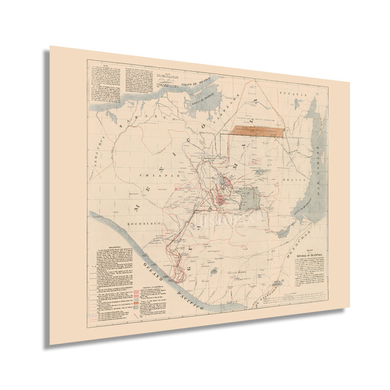
Published during the era known as the “Liberal Revolution,” this map shows Guatemala in a period of transformation culturally, politically, and economically. President José Maria Reina Barrios was rebuilding Guatemala City in a Parisian style with grand, wide avenues and European-inspired architecture. He also worked to improve roadways, complete Telegraph lines, and build an electric grid for the Capital City. Guatemala City played host to the Central American Fair in 1897, which was an exposition of industrial and cultural innovations. Among his other plans were a transatlantic railway that would never come to fruition as plans for the Panama Canal were more practical. Guatemala’s geographic location on the southern border of Mexico has created a unique culture that blends Indigenous, Mexican, Spanish, and other European influences.Much of modern-day Guatemala was home to the Mayan civilization. In the sixteenth century, the Spanish arrived and colonized most of Central and South America. Guatemala gained independence from Spanish Colonial Rule in 1821 and became part of the Federal Republic of Central America which dissolved in 1841. Guatemala suffered from considerable political instability in the nineteenth and twentieth centuries and decades of foreign-backed political parties resulted in years of Civil War. This map’s minimal aesthetic and distinctive style are immediately recognizable and transport the viewer back in time, creating an indelible bond between the past and present. This period represents some of the most historically important times in Guatemalan history, and this is an authentic piece of international cartographical history.Our museum quality giclee print comes printed with archival ink on premium heavyweight matte paper. This eye-catching vintage map reproduction print makes the perfect gift for anyone that loves history and imagery.
Features
- VINTAGE MAP REPRODUCTION: You’ll love this high quality historic reproduction of 1895 Republic of Guatemala Map Poster. Our museum quality prints are archival grade, which means it will look great and last without fading for over 100 years. Our print to order maps are made in the USA and each map is inspected for quality. This beautiful artwork is a perfect addition to your themed decor. Vintage maps look great in the home, study or office. They make a perfect gift as well.
- A LOOK BACK AT HISTORY: This is an impressive, historic reproduction of 1895 Guatemala Wall Map of Central America. A true piece of history. See our product description section for more fascinating information about this historic map and its significance.