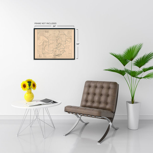
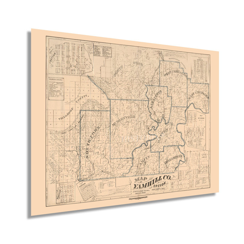
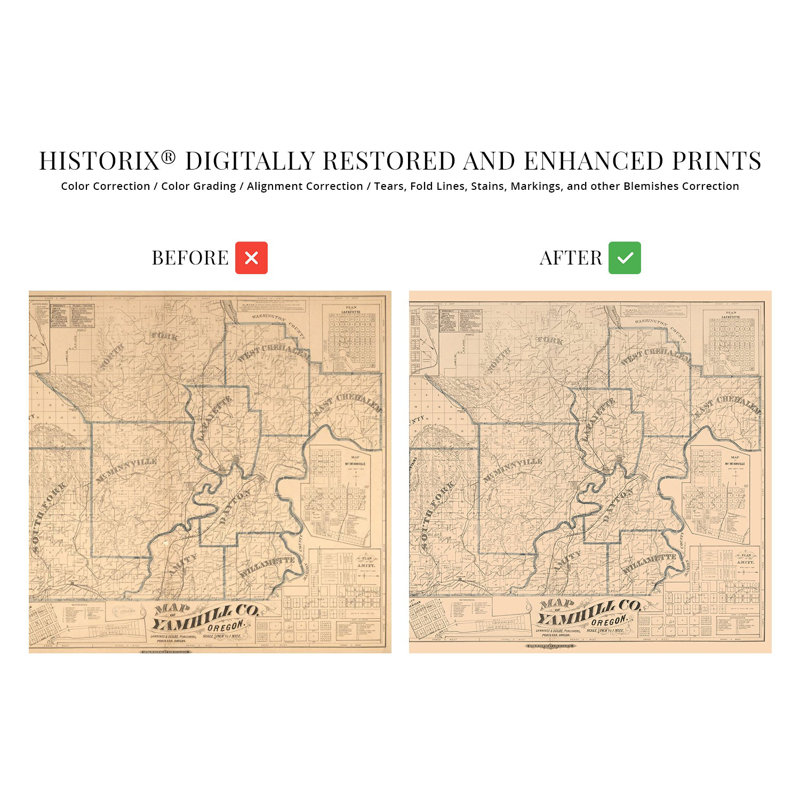
Located in the Willamette Valley and home to a major tributary of the Willamette River, Yamhill County has an enduring legacy and rich history that experienced significant transformation throughout the nineteenth century after the establishment of the Oregon Trail in 1811. The region would experience another significant population expansion following the completion of the transcontinental railroad and subsequent lines that opened up the Northwest. The Oregon Trail initially culminated at The Dalles to the East, but the completion of the Barlow Road in 1846 opened up settlement in the Willamette Valley. Yamhill County makes up the Southwestern portion of the Portland-Vancouver metropolitan area.The county was established five years before the Oregon Territory and is one of the four original districts of the Provisional Legislature. Initially, the primary economic center of the county was Lafayette which was made county seat in 1847, though it moved one decade after this map’s publication to McMinnville, where it remains. The Yamhill River featured a lock and dam that was completed in 1900 but de-commissioned in 1954 to promote salmon passage through the region’s waterways. Throughout the nineteenth century, the area attracted immigrants from Great Britain and Europe who established numerous communities based along cultural lines, many of which exist to this day.This is an authentic piece of American cartographical history that bears a distinctive style and classic aesthetic that immediately transports the viewer back in time, creating an indelible bond between the past and present while capturing the region’s rich history.Our museum quality giclee print comes printed with archival ink on premium heavyweight matte paper. Shipped in a sturdy cardboard tube your print will arrive ready to be framed. This eye-catching vintage map reproduction print makes the perfect gift for anyone that loves history and imagery.


 or
or