
$62.99 was$67.99
{MONTHLY_PAYMENT}{SUBTITLE_TEXT}with or
or
or
Earn 5% back¹ in rewards, plus more exclusive perks
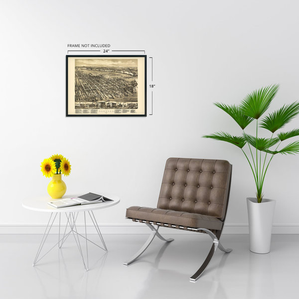
Size:
18" W x 24" H
FREE Delivery
Get it Fri, May 22 - Tue, May 26
to
43215
8 Left in Stock

At a Glance

Primary Art Material: Paper

Unframed
About This Product
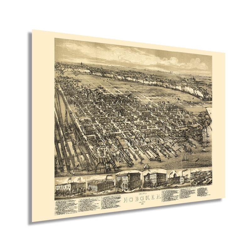
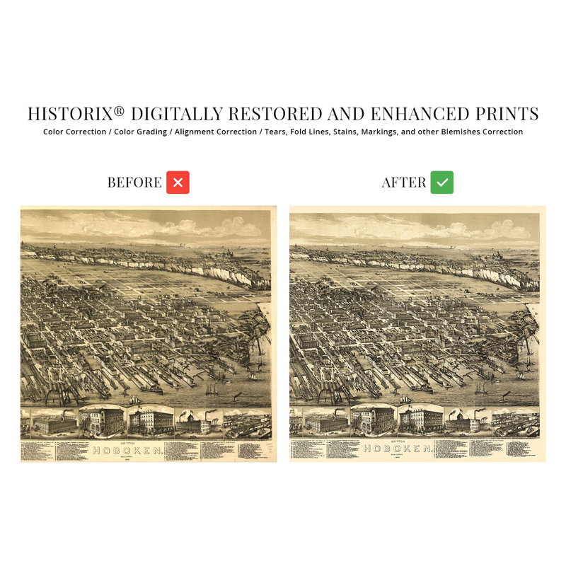
Produced and published by one of the most prolific American cartographers of the nineteenth and twentieth centuries, O.H. Bailey, this stunning depiction of Hoboken captures the iconic city in a period of significant growth and transformation in the decades following the conclusion of the American Civil War. Bailey's career spanned five decades. His birds eye perspectives bear signature style and unique aesthetic that is immediately recognizable and transports the viewer back in time, creating an indelible bond between the past and present. Panoramic maps served as marketing materials to attract residents and merchants alike and featured prominent civic buildings, religious and educational institutions, as well as geographic features.Located on the banks of the Hudson River across from Manhattan, Hoboken has been an essential part of the New York City metropolitan area since the early nineteenth century, when the establishment of the first commercial steam ferry allowed residents to easily travel across the Hudson. Originally a township formed in 1849, Hoboken attracted immigrants from across Eastern and Western Europe, many of whom established neighborhoods and communities based on cultural lines, many of which exist to this day. The first recorded game of Baseball was played in the city in 1856, and its bustling ports supported significant economic prosperity during the nineteenth century.This is an authentic piece of American cartographical history that illustrates the importance of Hoboken's influence on the surrounding region. The distinct culture and diversity have made Hoboken one of the most important transportation hubs for centuries.Our museum quality giclee print comes printed with archival ink on premium heavyweight matte paper. Shipped in a sturdy cardboard tube your print will arrive ready to be framed. This eye-catching vintage map reproduction print makes the perfect gift for anyone that loves history and imagery.
Features
- VINTAGE MAP REPRODUCTION: You’ll love this high quality historic reproduction of 1881 Hoboken New Jersey Map Poster. Our museum quality prints are archival grade, which means it will look great and last without fading for over 100 years. Our print to order maps and each map is inspected for quality. This beautiful artwork is a perfect addition to your themed decor. Vintage maps look great in the home, study or office. They make a perfect gift as well.
- A LOOK BACK AT HISTORY: This is an impressive, historic reproduction of 1881 Hoboken Wall Map of New Jersey. A true piece of history. See our product description section for more fascinating information about this historic map and its significance.