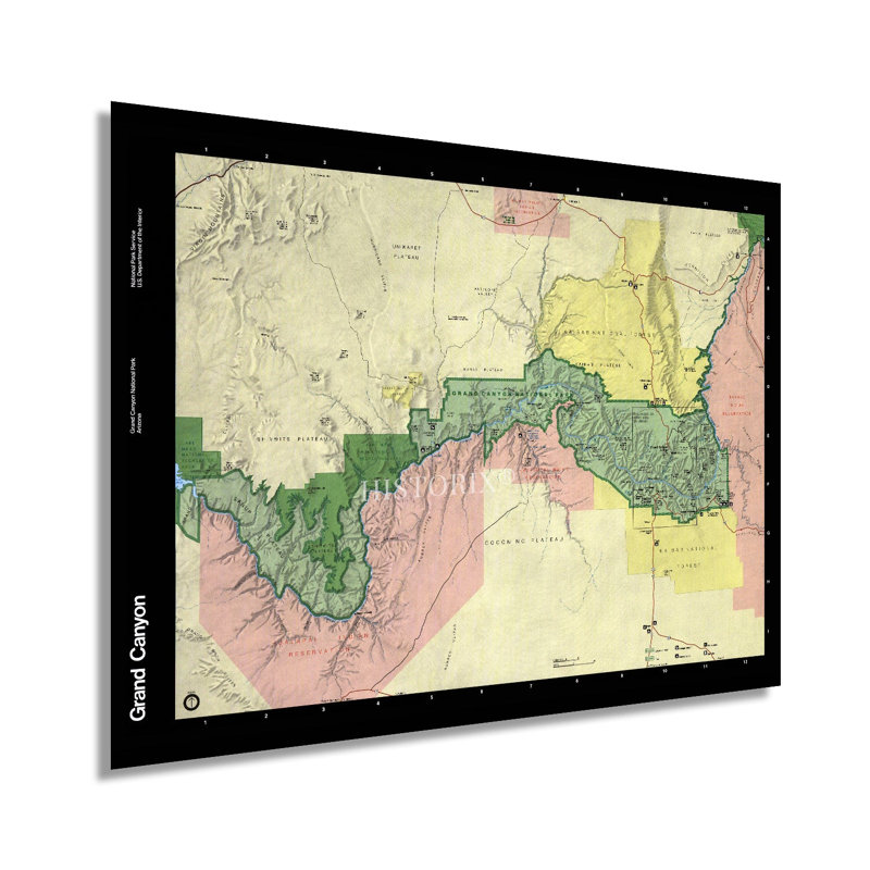
Some two billion years of geological history has been carved by the Colorado River, and the iconic Grand Canyon is one of the most recognizable geographic features in the United States. Indigenous peoples inhabited the Canyon for thousands of years before its discovery by Spanish explorers in 1540. As American settlers moved their way west in the middle portions of the nineteenth century, the Grand Canyon became recognized by the United States government as a national park in 1919. President Theodore Roosevelt's visit to the Grand Canyon in 1903 sparked interest in preserving this natural feature, and conservation efforts began. By the latter portion of the twentieth century, the Grand Canyon was one of the most popular tourist destinations in the world, with some five million visitors annually. Tourists raft the Colorado River, ride horses down the canyons' steep walls and trails, and viewing from the popular South Rim. The Canyon is over a mile deep and nearly two hundred and eighty miles long. Attempt to establish mines during the nineteenth century proved largely unsuccessful to the challenges of the rugged terrain and remote location in Northern Arizona. The construction of the Glen Canyon Dam in 1963 permanently changed the Canyon's ecosystem through efforts in the 1990s and 2000s that have flooded the river to restore native plants and animals and revive the natural ecosystem. This map bears a classic style that illustrates the vastness of the area while highlighting its natural features. Truly an authentic piece of modern cartographical history.Our museum quality giclee print comes printed with archival ink on premium heavyweight matte paper. This eye-catching vintage map reproduction print makes the perfect gift for anyone that loves history and imagery.