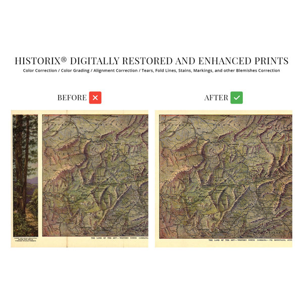
Published fourteen years after the historic Wright Brothers flight at Kittyhawk, this unique depiction of North Carolina shows the iconic state in a period of significant transformation and growth. A considerable expansion of industrial development attracted residents from across the United States as well as Western Europe, Ireland, and England. The construction of railroads during the nineteenth and twentieth centuries increased access across the state, and by 1917, several cities had seen rapid expansions of their population, particularly in the Raleigh, Durham, Chapel Hill area. Known as the Research Triangle, the region is home to numerous universities and research institutions. The state had relied heavily on agriculture during the nineteenth century, and the primary crop cultivated was tobacco which was grown for export to major markets in the Northeast, Europe, and Asia. The Halifax Resolves were the first call for colonial independence and were initially adopted by North Carolina. Following the conclusion of the Civil War, the state was readmitted to the Union in 1868. The area was impacted dramatically during the conflict and finally regained economic prosperity during the early twentieth century due to advances in agricultural technology.The state features a broad range of geography with diverse landscapes and elevations going from the Appalachian Mountains to the Outer Banks, a system of barrier islands. This depiction's distinctive style and signature aesthetic immediately transport the viewer back in time, creating a link between the past and present. This is truly an authentic piece of early twentieth-century American cartographical history.Our museum quality giclee print comes printed with archival ink on premium heavyweight matte paper. This eye-catching vintage map reproduction print makes the perfect gift for anyone that loves history.


 or