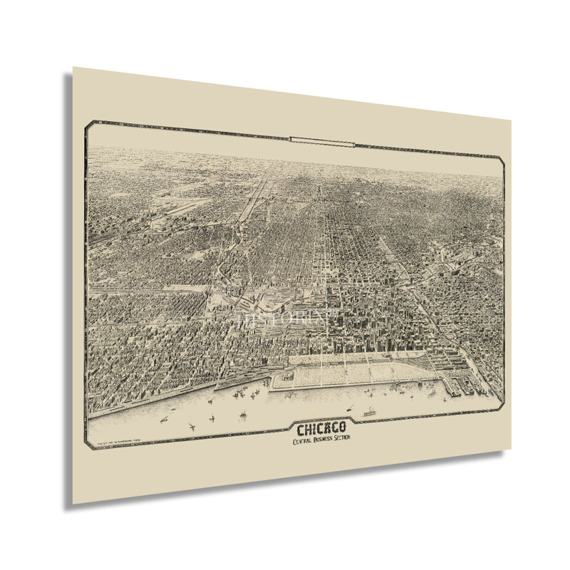
One of the most iconic parts of Chicago is illustrated here with incredible attention to detail and a distinct aesthetic that is immediately recognizable. The central business district is the second largest in the United States and represents the primary portion of downtown Chicago and Grant Park. The area is characterized by its architecture which was transformed following the Great Fire of 1871. By 1875 the city had rebuilt, and technological advancements in steel and glass building marked the construction that would come to be the signature design for the majority of urban centers. These prominent skyscrapers were some of the earliest constructed and would create the emblematic skyline on the banks of Lake Michigan. The area became the eastern terminus of famed Route 66 in 1926 and is one of the most populous regions in the United States. The early portion of the twentieth century saw Chicago enjoying a period of significant prosperity as thriving industries and commercial banking spurred economic advances in the metropolitan area. The central business district established the grid system that would expand throughout the city as it expanded.The nineteenth century saw significant growth as diverse immigrants from Ireland, Italy, Eastern Europe, and Poland established thriving communities based along with cultural traditions and heritage, many of which exist to this day. This authentic piece of American cartographical history transports the viewer back in time. The area was often referred to as The Loop following the construction of electric cable cars in 1882.Our museum quality giclee print comes printed with archival ink on premium heavyweight matte paper.
 or
or