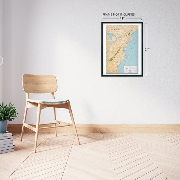
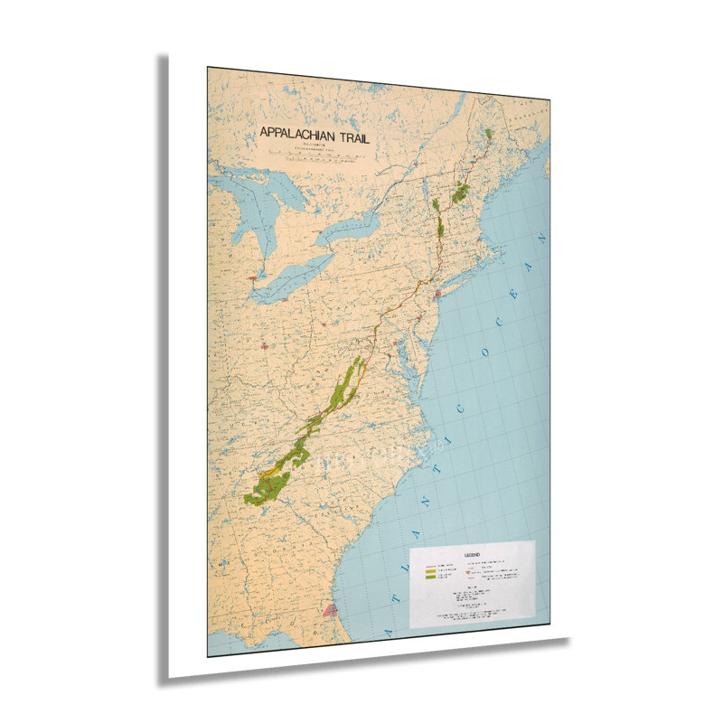
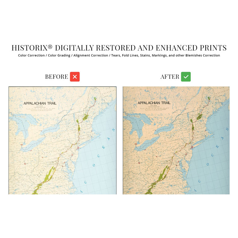
Stretching from Springer Mountain in Georgia to Mount Katahdin in Maine, the Appalachian Trail is one of the most iconic and famous trails in the United States. Over two thousand miles along, the trail brings more than three million visitors annually. Thru-hiking the trail has become an increasingly popular attraction, with thousands of hikers attempting to complete the entire journey on foot. The idea for the trail was conceived by Benton MacKaye, a forester who believed in preserving the natural elements found in the Eastern United States and allowing urban dwellers a chance to commune with nature.The first section of the trail was completed in 1923, and the entire project took nearly fifteen years to finish. The trail features some of the most iconic natural imagery in America and is traverses fourteen states. A thru-hike can take anywhere from five to seven months and was first completed in 1968. The trail is maintained by the Appalachian Trail Conservancy, which keeps accurate maps and information available for tourists and hikers. The most isolated portion of the trail is the last section of the Maine portion and is known as the “Hundred Mile Wilderness.” Maine also requires hikers to cross the Kennebec River by boat, the only such crossing.This is an authentic piece of cartographical history that illustrates the scope of one of America’s most iconic natural features. The minimal aesthetic is characteristic of the cartographical style of the time and the agency that produced it.Our museum quality giclee print comes printed with archival ink on premium heavyweight matte paper. Shipped in a sturdy cardboard tube your print will arrive ready to be framed. This eye-catching vintage map reproduction print makes the perfect gift for anyone that loves history and imagery.


 or
or