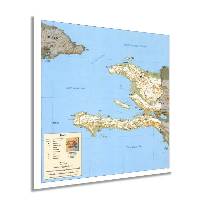
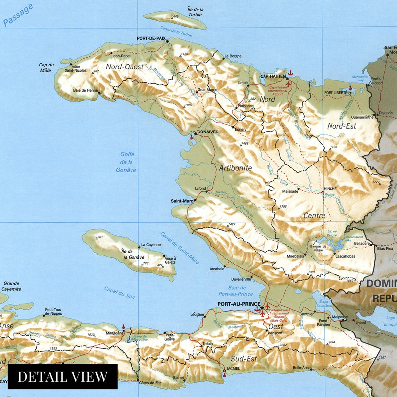
Located on the island of Hispaniola and sharing a border with the Dominican Republic, Haiti has a distinctive culture and rich history. The nation achieved sovereignty from French colonial rule in 1804 and became the first independent nation in the Caribbean and Latin America. This Central Intelligence Agency map shows Haiti in the so-called Post-Duvalier era. In 1994 the United States began negotiations with military leaders to allow the peaceful entry of twenty-thousand American troops. These efforts allowed for the restoration of democratic leadership under Jean-Bertrand Aristide, who had been ousted by military forces following his election in 1990. The coup forced many Haitians to attempt to flee the island.Aristide planned to enact free-market reforms in an effort to improve the Haitian economy, though it achieved mixed results, which in many cases did not improve local communities. In November of 1994, the island suffered massive casualties following mudslides caused by Hurricane Gordon. Haiti has long been used to export agricultural products to markets across America and Europe and was the first island discovered by Columbus in 1492. Spain laid claim to the region through French efforts would eventually lead to Spain ceding the western portion of Hispaniola. Under French colonial rule, sugarcane farms were established to meet growing demand.Haiti’s unique culture blends Spanish, French, Indigenous, and African cultures into a distinctive mix that remains one of the most unique in the western world. This map displays Haiti in a period of significant transformation.Our museum quality giclee print comes printed with archival ink on premium heavyweight matte paper. Shipped in a sturdy cardboard tube your print will arrive ready to be framed. This eye-catching vintage map reproduction print makes the perfect gift for anyone that loves history and imagery.