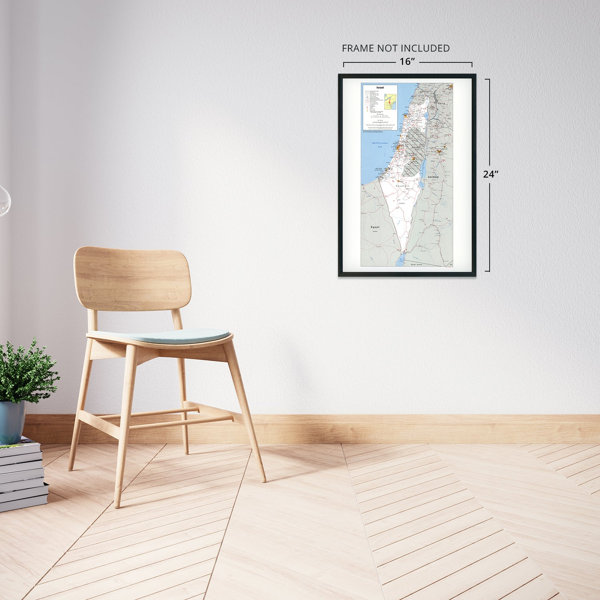
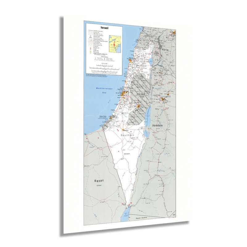
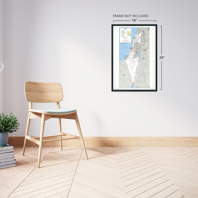
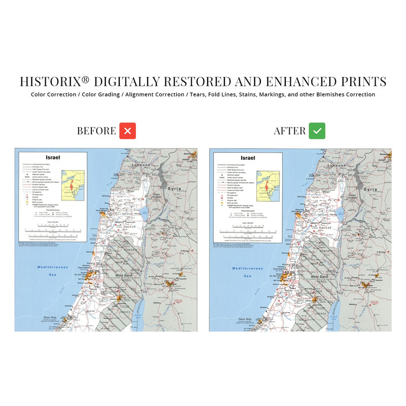
Following the conclusion and subsequent displacement of millions of Jewish people in the years after World War II, the Jewish State of Israel was established in Palestine and officially recognized by the newly formed United Nations in 1949. This destabilized Palestine as hard-line negotiators between settlers and established residents led to decades of conflict and attempts at resolution through political and military processes and international diplomacy. The 1970s and 80s saw continued conflict in the region as Jewish settlers established communities in the West Bank and Jerusalem, territories that both cultures highly value as traditional holy lands.The Central Intelligence Agency has produced the most detailed and accurate geopolitical maps since 1941. The CIA maintains a comprehensive collection that tracks, updates, and illustrates international boundaries, borders, and changes in political leadership. CIA productions bear a classic style with a minimal aesthetic and are immediately recognizable. As tensions in the regions heightened throughout the twentieth century, the United States supported Israeli independence and settlement, and in 1980 the Basic Law declared Jerusalem the capital of Israel. The 1980s also saw a marked increase in diversity in Israel as waves of settlers arrived from Ethiopia and Eastern Europe.While tensions remain high in the region, there have been continued efforts to reach a peace agreement between Israeli settlers and displaced Palestinians. This piece of cartographical history shows Israel and the surrounding areas in a period of significant transition as international policies and regional beliefs create an ever-evolving political and cultural landscape.Our museum quality giclee print comes printed with archival ink on premium heavyweight matte paper. This eye-catching vintage map reproduction print makes the perfect gift for anyone that loves history and imagery.


 or
or