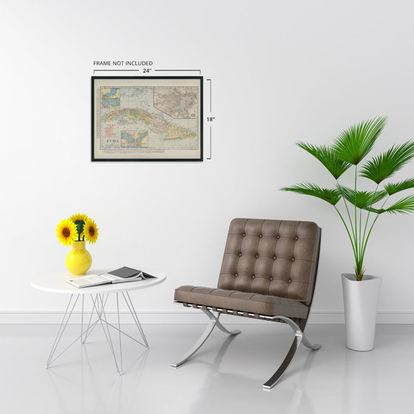
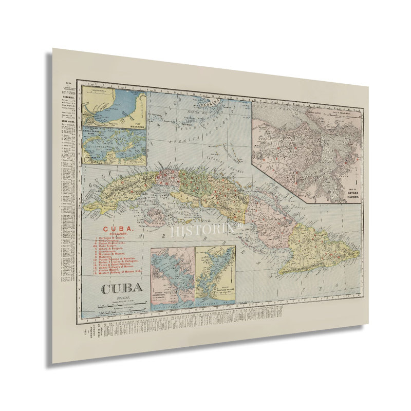
In the late nineteenth century, widespread investment by foreign companies spurred economic growth and prosperity throughout Cuba, and it was flourishing and experiencing significant growth in the early twentieth century. Following the conclusion of the Spanish-American War, Cuba became a protectorate of the United States under provisions included in the Treaty of Paris, which was signed in 1898. Cuba’s new constitution allowed the US to intervene in international affairs, financial policies, and diplomatic relationships. Cuba also agreed to lease the US land for the Naval base at Guantanamo Bay. This period also saw economic expansion spurred by a thriving sugar cane industry and the establishment of rail lines during the nineteenth century.Produced by the iconic American mapmakers Rand McNally, this detailed map is immediately recognizable. It presents the iconic Caribbean Island with remarkable detail and attention to the distinct provinces, towns, and cities. Foreign interest, particularly by American industrialists, remained high throughout the twentieth century until the Castro revolution took political control in 1959. This depiction was initially published in the McNally business atlas of Cuba and later reproduced as an independent print. With a population of more than one and a half million, Cuba was enjoying this period of prosperity and growth as a cultural center of the region, and Havana became known as Paris of the Antilles. This is an authentic piece of cartographical history that bears a distinctive style and classic aesthetic that provides the viewer an indelible link to the past and present.Our museum quality giclee print comes printed with archival ink on premium heavyweight matte paper.


 or