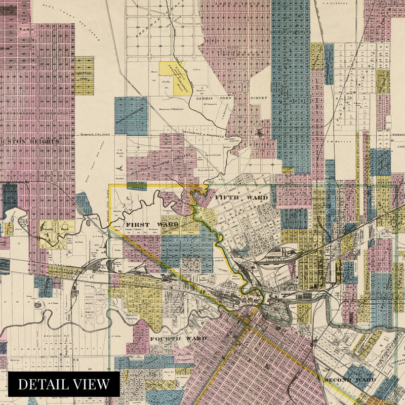
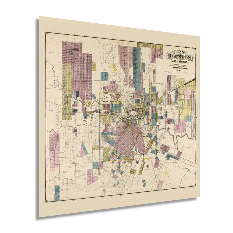
This unique depiction of Texas' largest and the fourth largest city in the United States shows it in a period of significant growth and transformation. As the city’s economy boomed due to the vast reserves of oil being pumped in East Texas, its culture flourished as the nation raced toward the turn of the century. Houston was first settled in 1837 at the junction of Buffalo and White Oak bayous and had grown tremendously by the end of the nineteenth century. The population had reached nearly sixty-thousand by 1900, and numerous economic drivers spurred the population from importing and exporting to manufacturing and oil field administration. Access had been increased with the completion of numerous railroads making Houston the first major hub in the American south in the years preceding the Civil War. In 1891 electric streetcars replaced mule-driven wagons as the primary source of transportation throughout the city’s downtown and burgeoning suburbs. This land use map shows the city becoming a modern icon of America synonymous with Texas' cultural identity. This depiction's unique aesthetic and signature style immediately transport the viewer back in time, creating an indelible bond between the past and present. Texas was readmitted to the Union in 1870 following the conclusion of the Civil War and had experienced no battles in the city during the conflict. This is an authentic piece of American and Texan cartographical history, and was produced by noted Houston-based surveyors Whitty and Stott and published by EB Noll.Our museum quality giclee print comes printed with archival ink on premium heavyweight matte paper. Shipped in a sturdy cardboard tube your print will arrive ready to be framed. This eye-catching vintage map reproduction print makes the perfect gift for anyone that loves history and imagery.
 or
or