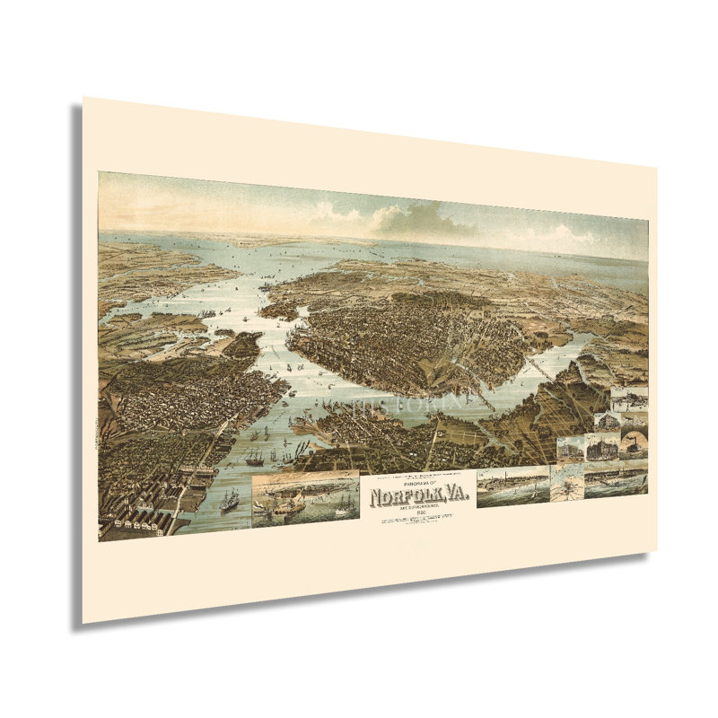
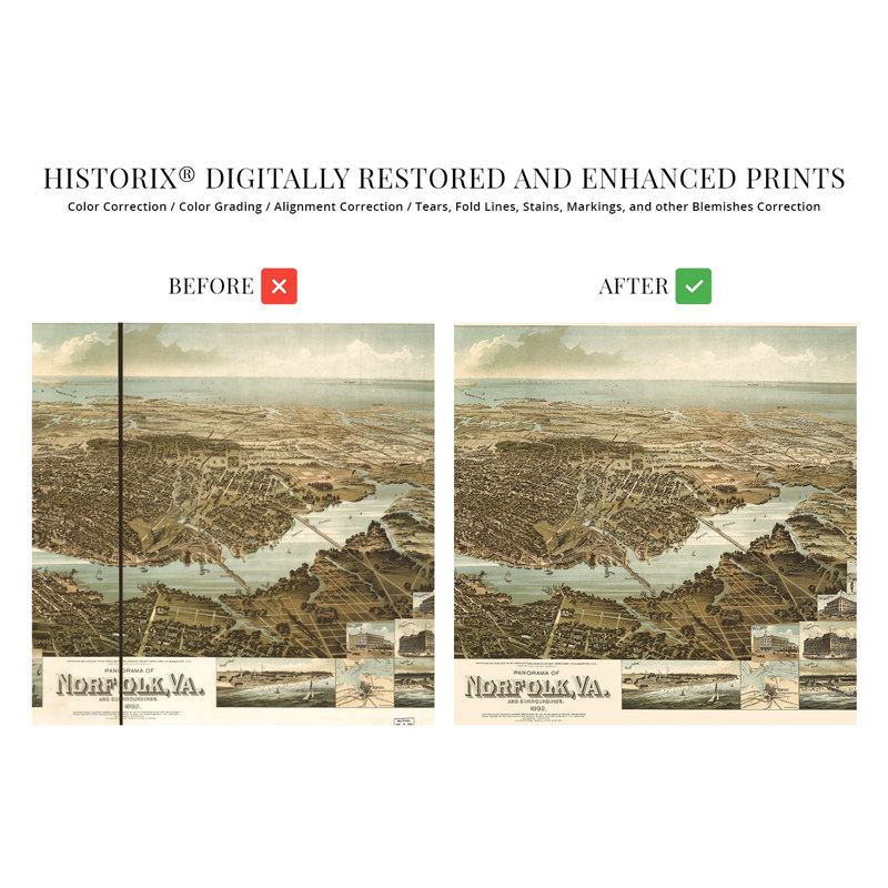
One of the oldest and most historic cities in the United States, Norfolk bears a rich history and distinctive culture that has been developing since the late seventeenth century. The city suffered extensive damage during the American Revolution after being shelled for more than eight hours by Lord Dunmore’s fleet, with more than two-thirds of the town was destroyed. Patriotic forces would then destroy the remaining buildings in a strategic maneuver with the walls of the Saint Paul Episcopal Church the only structure left standing. The city would later be captured by Union forces during the American Civil War, though the invasion did not result in any damage or battle.By 1892 Norfolk’s ports were thriving, and the city was experiencing a significant expansion in population and growth as the nation enjoyed great prosperity during the Gilded Age. Its geographic location at the mouth of the Chesapeake Bay made it a valuable trade hub for exporting tobacco to major ports in the Northeast and Europe, while the establishment of rail lines increased access. This stunning depiction produced by Henry Wellge captures a transformative moment in the city’s rich history. Wellge was prolific during his career, and his panoramic maps bear a signature style and characteristics. This map is an authentic piece of American cartographical history that immediately transports the viewer back in time, creating a bond between the past and present. As the turn of the century neared, Norfolk had become an economic driver cultural center for the entire region.Our museum quality giclee print comes printed with archival ink on premium heavyweight matte paper. Shipped in a sturdy cardboard tube your print will arrive ready to be framed. This eye-catching vintage map reproduction print makes the perfect gift for anyone that loves history and imagery.