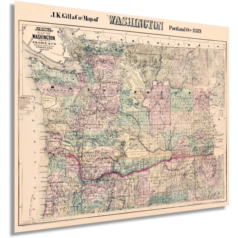
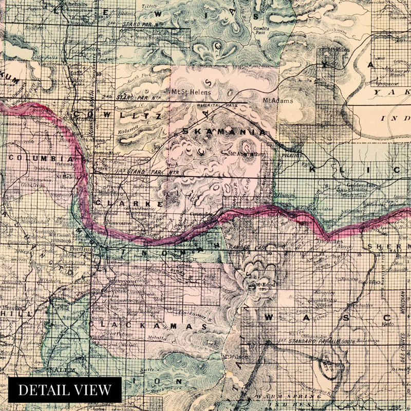
Published in the same year that Washington gained statehood becoming the 42nd state, and this depiction of Washington shows the state in a time of great transition. Upon entering the Union, Washington found itself in a period of unprecedented prosperity, and Seattle's thriving ports were becoming the primary economic driver, edging out lumber as the primary source of capital in the region. The Great Fire of Seattle broke out on June 6, 1889, and would forever transform the great cities' architecture, marking a turn from Victorian timber-clad homes to structures constructed with brick, steel, and glass. This transition was just one of many that the city experienced in the late 19th century as it's reputation as a rough and tumble frontier town was waning. It was becoming a progressive and diverse city. The cities population boomed following the fire, and it quickly became the largest in Washington. Located in present-day Pioneer Square, the fire was centralized downtown and destroyed nearly 25 city blocks. Produced by noted American cartographer, and civil engineer W.H. Galvani for the prolific JK Gill map company, this is truly an authentic piece of cartographical history. As the country neared the turn of the century, manufacturing was becoming one of the primary industries. With cosmopolitan Seattle leading the charge, much of the eastern portion of the state remained dedicated to agricultural and mining efforts. These maps are glimpses into life in the late 19th century and allow historians to develop a sense of life at the time.
 or
or