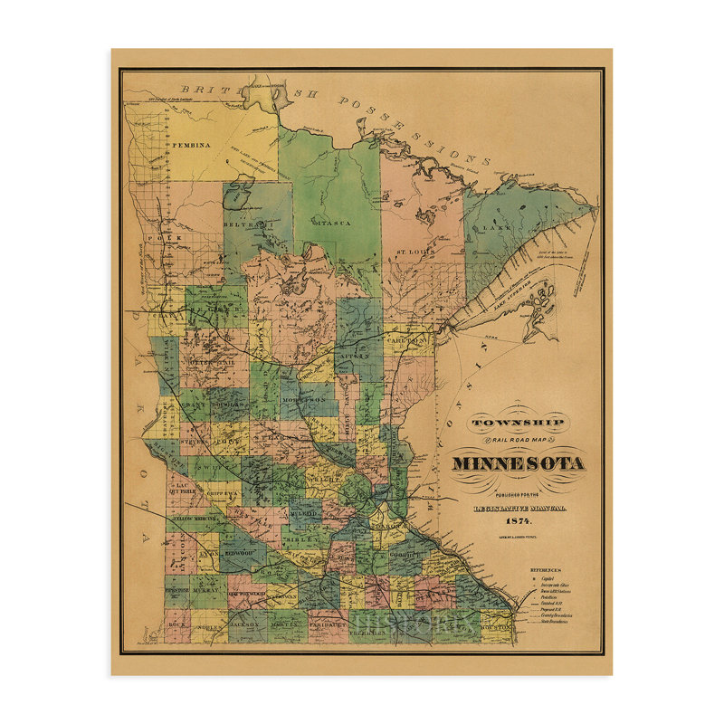
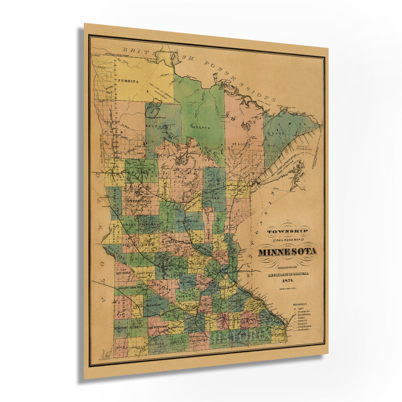
The 1870s were a period of rapid growth for railroads, and their importance cannot be overstated for their contribution to the growth, transformation, and development of American culture. The first Transcontinental line had been completed just five years prior in 1869, and the steam engine had become the dominant method for transporting goods and people quickly through the nation. The emergence of sleeping and dining cars had made travel more widespread and luxurious. By the 1870s, the state's natural resources were being tapped, and its primary economic drivers were the agricultural and farming industries. Railroads allowed the efficient transport of these goods to the rest of the Union and also gave greater access to the immigrants that were flocking to the state. German, Scandinavian, and Northern European immigrants established farms and mills throughout the region. Iron mining was also becoming an integral part of this thriving economy by the end of the 19th century. With the conclusion of the Civil War nine years prior, the state had seen considerable growth in population with nearly 500,000 residents by 1874. Railroad maps were an essential tool for the merchants and farmers of this time and would define the settlement and establishment of towns for years to come. Published in 1874, this is one of the earlier maps to depict Minnesota, and its producer AJ Reed was one of the only active mapmakers in the state during this era. This rare print and its distinctive aesthetic are a unique piece of cartographical history. Our museum quality giclee Minnesota art work comes printed with archival ink on premium heavyweight matte paper. Shipped in a sturdy cardboard tube your Minnesota home decor print will arrive ready to be framed. This eye-catching Minnesota vintage map reproduction print makes the perfect Minnesota gift for anyone that loves history and imagery.