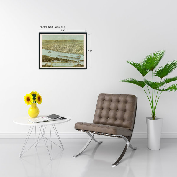
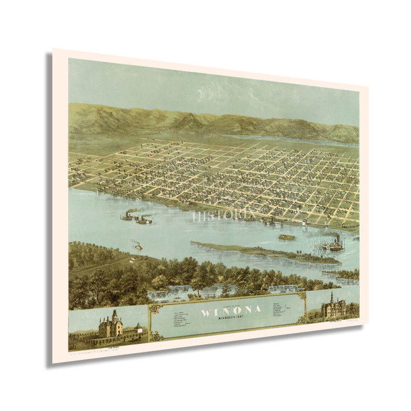
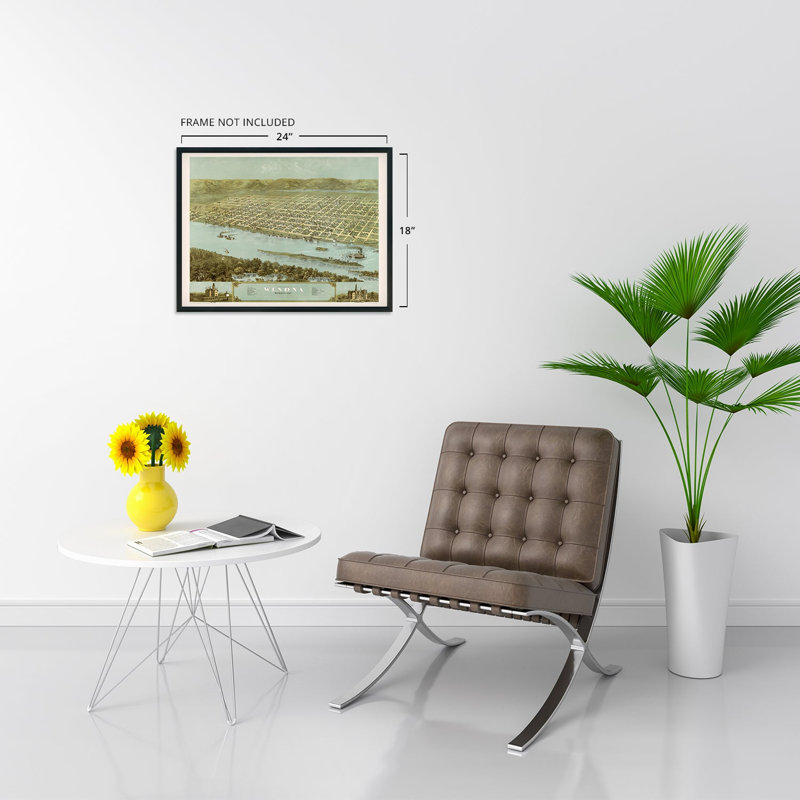
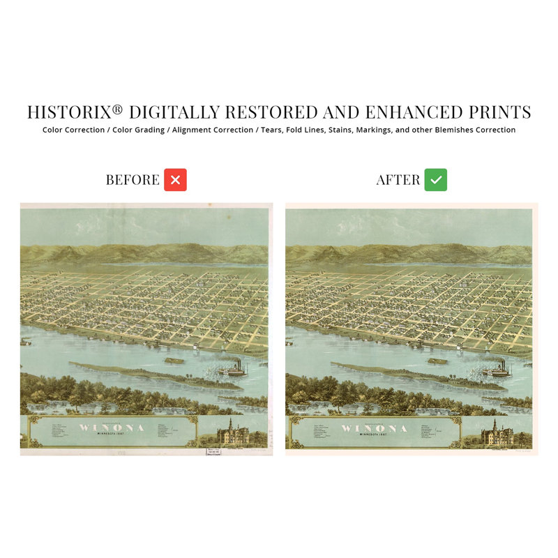
Produced and published by one of the most prolific American mapmakers of the nineteenth century, this depiction of Winona, MN, shows it in a period of transformation in the years following the conclusion of the American Civil War. The city was established in 1851 by European immigrants who laid the initial plans for the town between 1852 and 1853. Its geographic location on the banks of the Mississippi River supported a thriving milling industry spurred on by steamboats transporting goods for export out of the bustling ports in New Orleans. Ruger was a pioneer of the birds-eye perspective style, which was widely popular during the nineteenth century and into the early portions of the twentieth century.In 1859 Polish immigrants began flocking to the city, and by 1900, Polish and the closely related Kashubians comprised nearly eighty percent of Winona’s population. Winona became the home to the second operational railroad in Minnesota following the completion of the Winona and St. Peter Railroad in 1862. This map bears Ruger’s characteristic style, including bustling waterways with artistic insets and flourishes. Birdseye perspectives served as marketing materials to promote cities and towns across the United States and featured prominent civic buildings and industrial features to attract residents and merchants alike.Following a destructive fire in 1862, the city began quarrying the limestone reserves nearby, which resulted in the iconic Sugar Loaf pinnacle, which has become one of the town’s most prominent features. This is an authentic piece of American cartographical history.Our museum quality giclee print comes printed with archival ink on premium heavyweight matte paper. This eye-catching vintage map reproduction print makes the perfect gift for anyone that loves history and imagery.


 or