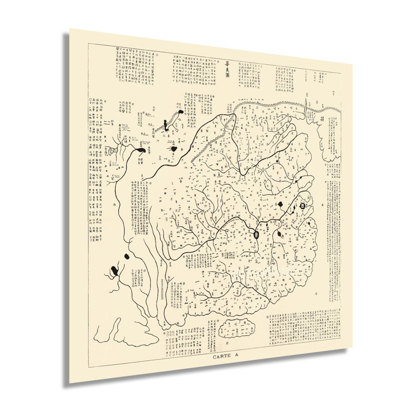
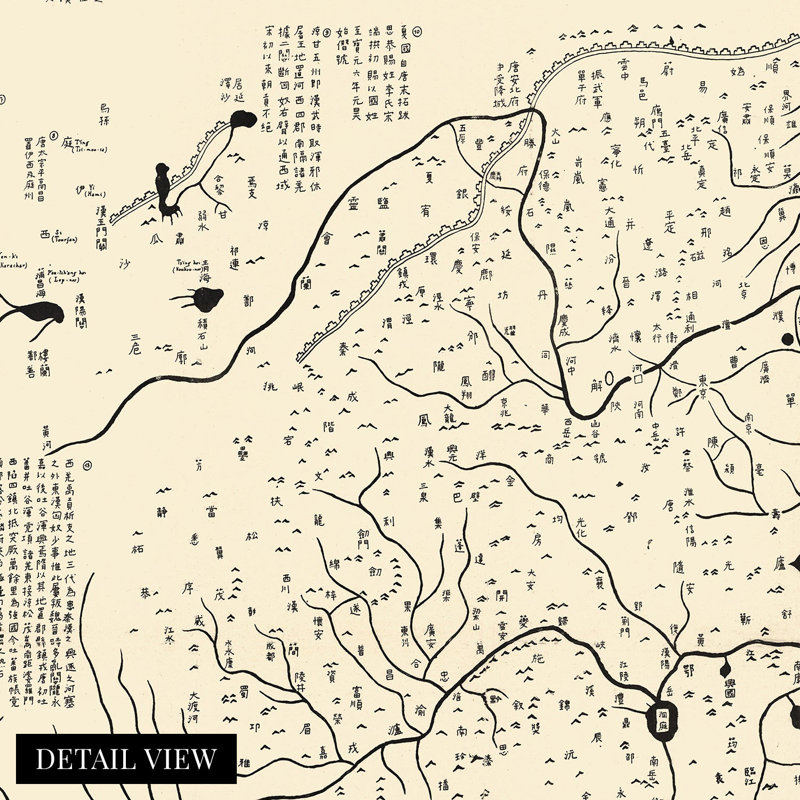
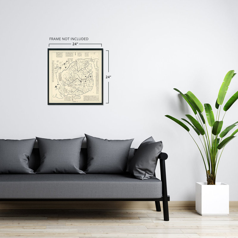
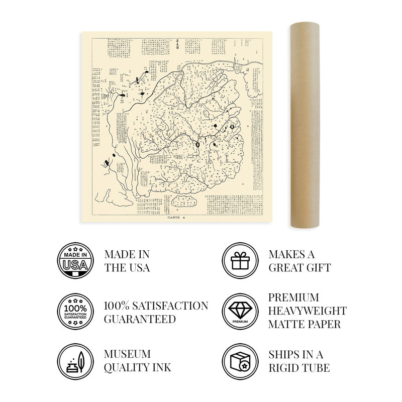
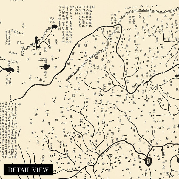
This ancient depiction of China was produced from a paper rubbing from the original stone stele, which was engraved in 1137. This is the oldest map of China that illustrates a relationship with foreign states, and the original engraving is featured in the Beilin Museum, which is sometimes referred to colloquially as the Stele Forest and has housed historic steles in a Confucian Temple since 1087. The Huayi Tu was commissioned under the Great Qi Dynasty, and the original cartographer is unknown. However, this production comes from a French rubbing in 1903 which bears a crisp style and distinguished features.This map contains more than four hundred administrative districts within China, as well as the Great Wall in the North, and numerous lakes, rivers, and other geographic features. The reverse side of this Huayi Tu stele is the earliest map produced using a lattice grid. The Yu Ji Tu is remarkable accurate due to the grid and rivals European cartographic technology of the eighteenth and nineteenth centuries despite being carved in 1137. The edges of the Huayi Tu contain text relating to descriptions of Korea, Japan, and other foreign states to the North and South, though it does not include Taiwan, which has led to significant debate among historians about the geopolitical boundaries during this era. This is truly an authentic piece of cartographical history with a distinctive aesthetic and unique style that immediately transports the viewer back in time, creating an indelible bond between the past and present.Our museum quality giclee print comes printed with archival ink on premium heavyweight matte paper. Shipped in a sturdy cardboard tube your print will arrive ready to be framed. This eye-catching vintage map reproduction print makes the perfect gift for anyone that loves history and imagery.