3 Colors, 3 Sizes
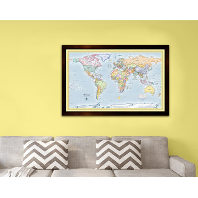
Home Magnetics W x H Dry Erase And Laminated World Map
By Home Magnetics
34" H x 48" W x 1" D, Blue
Rated 4.6 out of 5 stars.87 total votes
$199.99 was$209.99
FREE Delivery
|
More Options
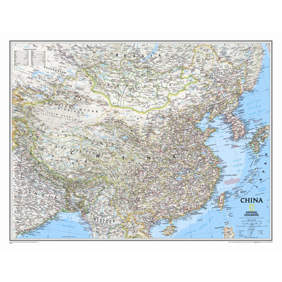
China Classic Wall Map
By National Geographic Maps
Laminated (24" x 30")
Rated 5 out of 5 stars.1 total vote
$40.31
FREE Delivery
Low Stock
|
More Options
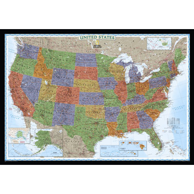
United States Decorator Wall Map
By National Geographic Maps
Laminated (30" x 43")
Rated 4.7 out of 5 stars.29 total votes
$30.99
FREE Delivery
Low Stock
|
More Options
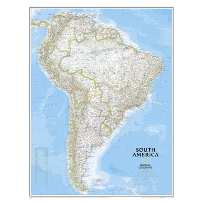
South America Classic Wall Map
By National Geographic Maps
Enlarged and Laminated (36" x 46")
Rated 5 out of 5 stars.1 total vote
$64.34
FREE Delivery
|
More Options
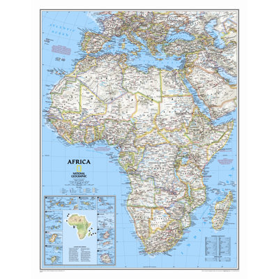
Africa Classic Wall Map
By National Geographic Maps
Standard Size Laminated (31"H x 24"W)
Rated 5 out of 5 stars.5 total votes
$33.09
FREE Delivery
Low Stock
|
More Options
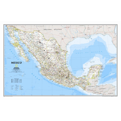
Mexico Classic Wall Map
By National Geographic Maps
Laminated (23" x 34")
Rated 4.8 out of 5 stars.6 total votes
$31.20
FREE Delivery
Low Stock
|