More Options
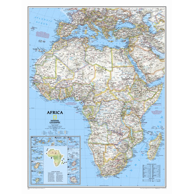
Africa Classic Wall Map
By National Geographic Maps
Standard Size Laminated (31"H x 24"W)
Rated 5 out of 5 stars.5 total votes
$33.09
Low Stock
|

Round World 48'' W x 38'' H Dry Erase And Laminated Road Map
(Set of 2)
By Round World
Rated 4.8 out of 5 stars.5 total votes
$52.03 $26.02 per item
FREE Fast Delivery
Get it by Tue, Aug 4
|
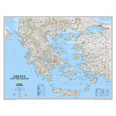
$31.99
|
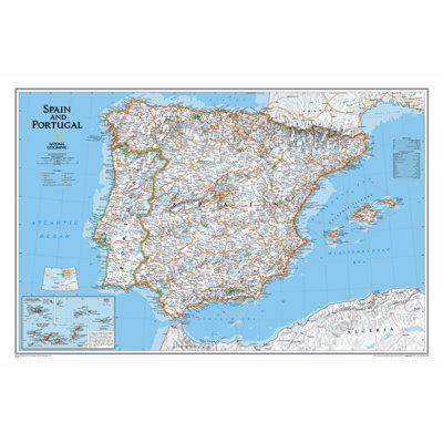
Spain and Portugal Classic Wall Map - Laminated
By National Geographic Maps
Rated 5 out of 5 stars.2 total votes
$39.33
FREE Delivery
Low Stock
|
Round World 51'' W x 38'' H Dry Erase And Laminated World Map
By Round World
Rated 4.8 out of 5 stars.26 total votes
$34.78
Fast Delivery
Get it by Tue, Aug 4
|