
National Geographic Maps
They carry the full range of National Geographic Country Maps, US Maps, World Maps, Regional Maps, Historical Maps and Celestial Maps. They offer the widest variety of options and features as well as excellent customer service. All National Geographic Maps Ship Free!. Call with any questions!
- Fast Delivery
to:
Filter By Category
Filter By Price
Filter By Customer Rating
Filter By Color


Filter By Availability
Filter By Special Offers
National Geographic Maps
110 Items
More Options
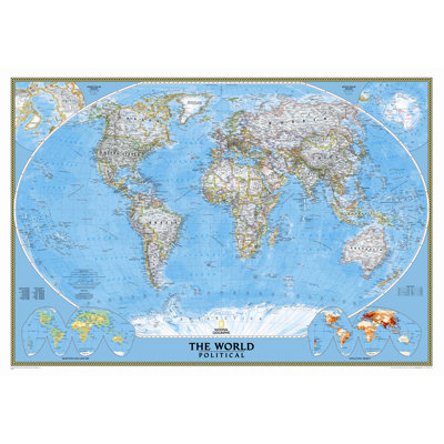
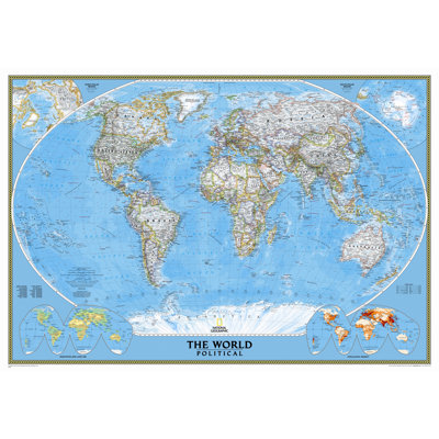
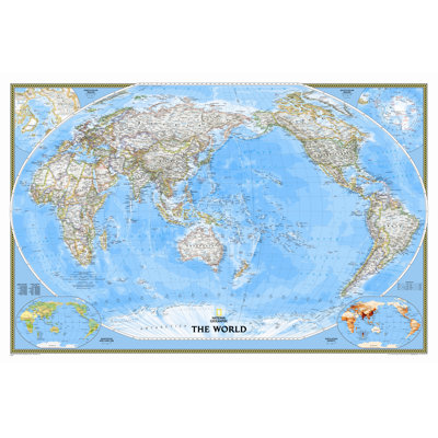
World Classic Wall Map
By National Geographic Maps
Standard (30" x 44") - Laminated
Rated 4.9 out of 5 stars.26 total votes
FREE Delivery
More Options
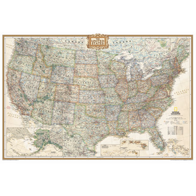
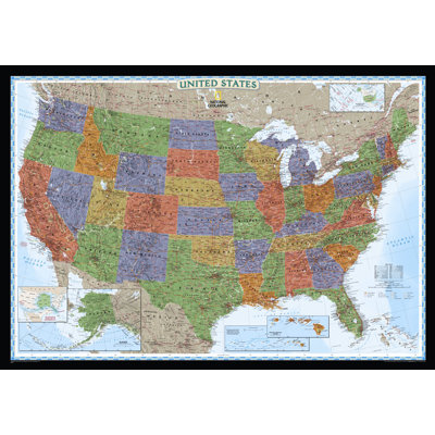
United States Executive Wall Map
By National Geographic Maps
Enlarged and Tubed
Rated 4.7 out of 5 stars.48 total votes
FREE Delivery
More Options
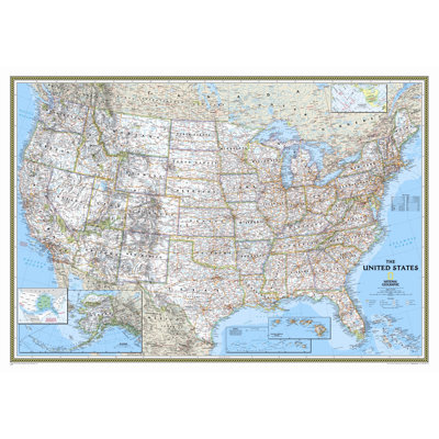
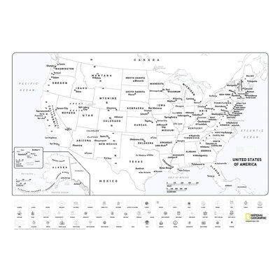
United States Classic Wall Map
By National Geographic Maps
Standard (30" x 44") Incorrect
Rated 4.2 out of 5 stars.23 total votes
More Options
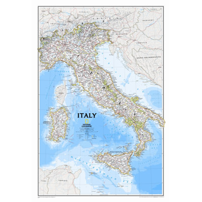
Italy Classic Wall Map
By National Geographic Maps
Laminated
Rated 4.5 out of 5 stars.12 total votes
FREE Delivery
More Options
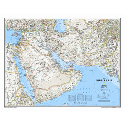
Middle East Wall Map
By National Geographic Maps
Tubed
Rated 4.7 out of 5 stars.3 total votes
More Options
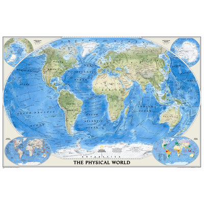
World Physical Wall Map
By National Geographic Maps
Standard Size Laminated (30"H x 44"W)
Rated 4.7 out of 5 stars.9 total votes
2 Colors
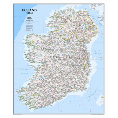
Ireland Classic Wall Map
By National Geographic Maps
Tubed
Rated 5 out of 5 stars.8 total votes
More Options
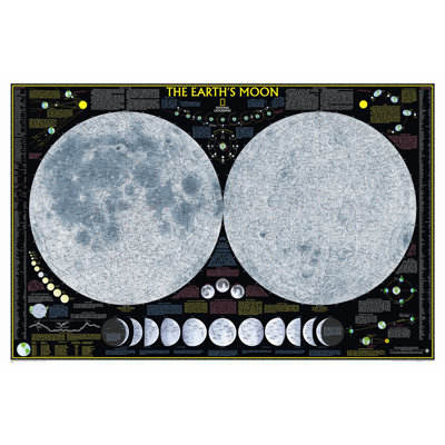
Earth's Moon Poster Map
By National Geographic Maps
Tubed
Rated 5 out of 5 stars.2 total votes

Wall Maps Kids National Geographic Maps 51'' W x 40'' H Dry Erase And Laminated Physical Map
By National Geographic Maps
Rated 5 out of 5 stars.2 total votes
2 Colors
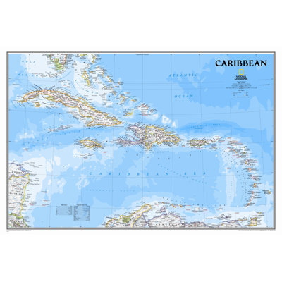
Caribbean Classic - Tubed
By National Geographic Maps
Paper
Rated 4.8 out of 5 stars.22 total votes
More Options
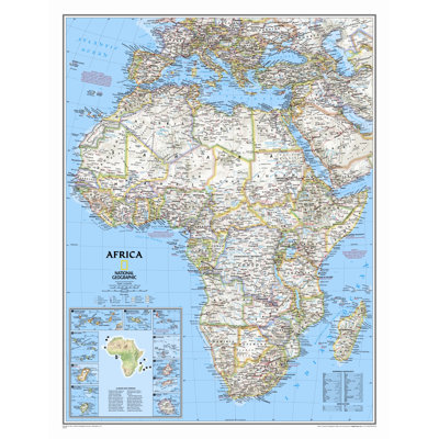
Africa Classic Wall Map
By National Geographic Maps
Standard Size Tubed (31"H x 24"W)
Rated 5 out of 5 stars.5 total votes
More Options
United States Decorator Wall Map
By National Geographic Maps
Laminated (30" x 43")
Rated 4.7 out of 5 stars.29 total votes
2 Colors
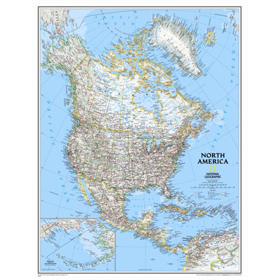
North America Classic Wall Map
By National Geographic Maps
Standard Size Paper (30"H x 24"W), Traditional Blue
Rated 4.9 out of 5 stars.15 total votes

2 Colors
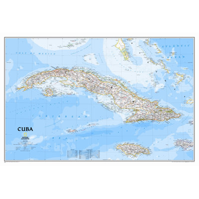
Cuba Classic Wall Map
By National Geographic Maps
Laminated
Rated 5 out of 5 stars.3 total votes
FREE Delivery
More Options
Mural World Map
By National Geographic Maps
Standard
Rated 4.6 out of 5 stars.14 total votes
FREE Delivery
More Options
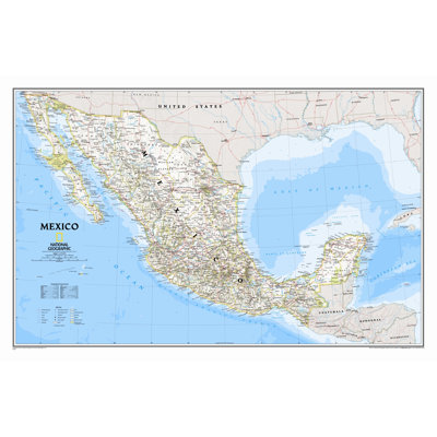
Mexico Classic Wall Map
By National Geographic Maps
Laminated (23" x 34")
Rated 4.8 out of 5 stars.6 total votes


The United States for Kids - Laminated
By National Geographic Maps
Rated 5 out of 5 stars.1 total vote
2 Colors
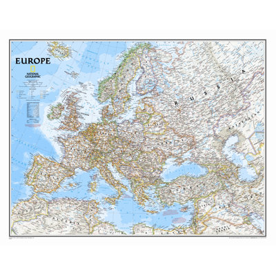
Europe Classic Wall Map
By National Geographic Maps
Traditional Blue, Standard Size Laminated (24"H x 30"W)
Rated 4.7 out of 5 stars.16 total votes
FREE Delivery
2 Colors
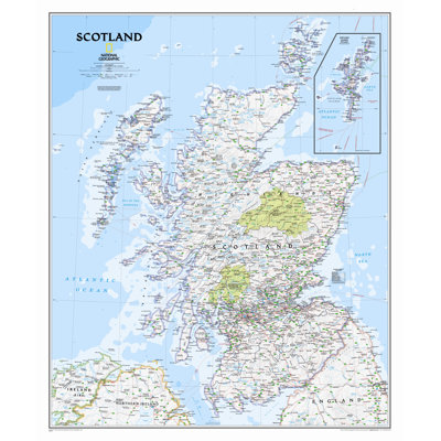
Scotland Classic Wall Map
By National Geographic Maps
Laminated
Rated 4.8 out of 5 stars.13 total votes
2 Colors
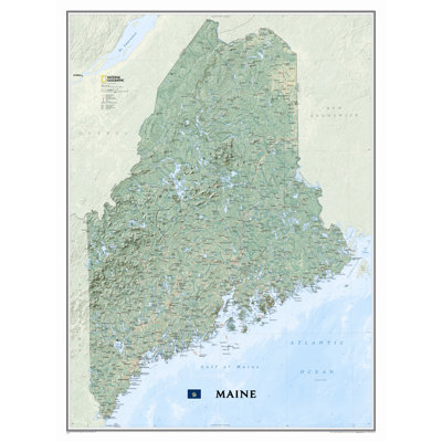
Maine State Wall Map
By National Geographic Maps
Laminated
Rated 4.4 out of 5 stars.13 total votes
FREE Delivery
2 Colors
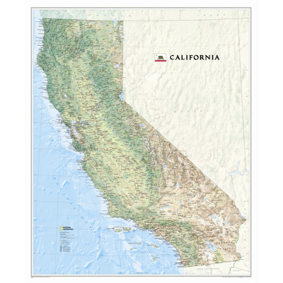
California State Wall Map
By National Geographic Maps
Paper
Rated 4.4 out of 5 stars.5 total votes
FREE Delivery
2 Colors
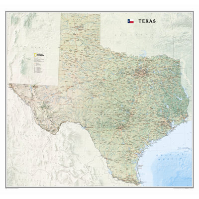
Texas State Wall Map
By National Geographic Maps
Laminated
Rated 4.9 out of 5 stars.11 total votes
FREE Delivery
2 Colors
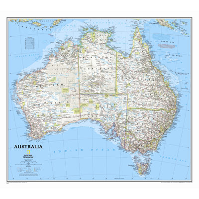
Australia Wall Map
By National Geographic Maps
Standard Size Laminated (24"H x 30"W), Traditional Blue
Rated 5 out of 5 stars.4 total votes
4 Colors
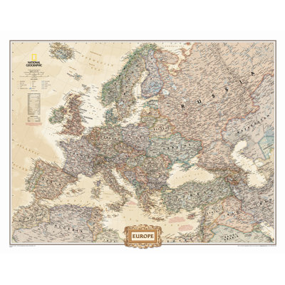
Europe Executive Wall Map
By National Geographic Maps
Standard Size Tubed (24"H x 30"W)
Rated 3 out of 5 stars.1 total vote
National Geographic Maps W x 25'' H Dry Erase And Laminated Country Map
By National Geographic Maps

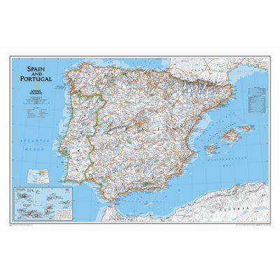
Spain and Portugal Classic Wall Map - Laminated
By National Geographic Maps
Rated 5 out of 5 stars.2 total votes
FREE Delivery

Spain and Portugal Classic Wall Map
By National Geographic Maps
Standard (22" x 33")
Rated 5 out of 5 stars.4 total votes
More Options
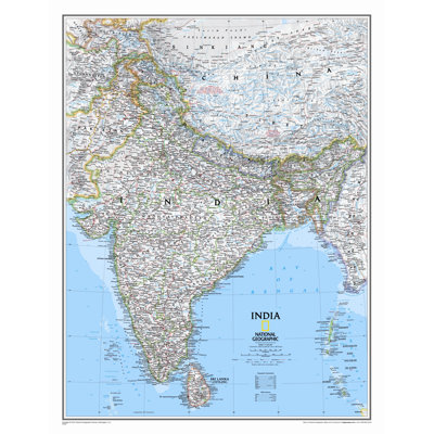
India Classic Wall Map
By National Geographic Maps
Standard (23" x 30")
Rated 5 out of 5 stars.2 total votes
FREE Delivery
2 Colors
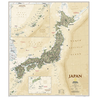
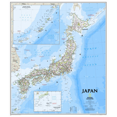
Japan Classic Wall Map
By National Geographic Maps
Laminated
Rated 4.7 out of 5 stars.7 total votes
2 Colors
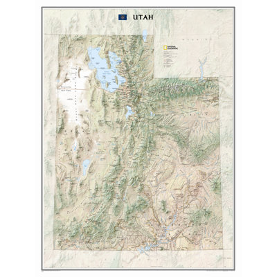
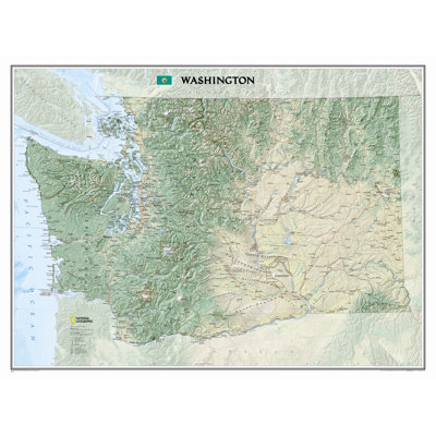
Washington State Wall Map
By National Geographic Maps
Laminated
Rated 4.8 out of 5 stars.4 total votes
FREE Delivery
More Options
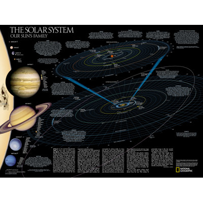
The Solar System Poster Map (Two Sided)
By National Geographic Maps
Tubed
Rated 5 out of 5 stars.2 total votes
More Options
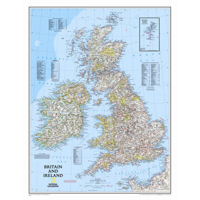
Britain and Ireland Wall Map
By National Geographic Maps
Laminated (23" x 30")
Rated 5 out of 5 stars.4 total votes
2 Colors
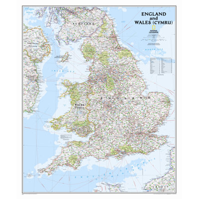
England and Wales Classic Wall Map,36" x 30"
By National Geographic Maps
Laminated
Rated 5 out of 5 stars.4 total votes
More Options
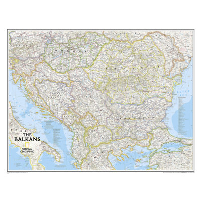
The Balkans Classic Wall Map
By National Geographic Maps
Laminated (23" x 30")
Rated 5 out of 5 stars.2 total votes
FREE Delivery
More Options
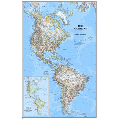
The Americas Classic Wall Map
By National Geographic Maps
Poster (24" x 36")- Laminated
Rated 4 out of 5 stars.5 total votes
FREE Delivery

Wall Maps Countries & Regions National Geographic Maps 24'' W x 30'' H Dry Erase And Laminated Country Map
By National Geographic Maps
Laminated
Rated 5 out of 5 stars.2 total votes