$33.99

3 Colors, 7 Sizes
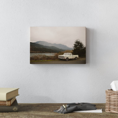
" US Pacific Coast Highway " by Vestiges
By Ebern Designs
Wrapped Canvas, 40" H x 30" W
Rated 5 out of 5 stars.1 total vote
$77.99 was$89.99
FREE 3-Day Delivery
Get it by Thu, Jun 11
$27.47
Low Stock
2 Colors
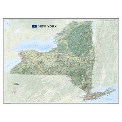
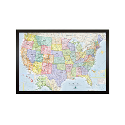
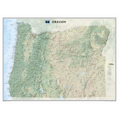
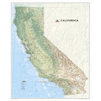
California State Wall Map
By National Geographic Maps
Paper
Rated 4.4 out of 5 stars.5 total votes
$39.34
Open Box: $27.97
FREE Delivery
2 Colors
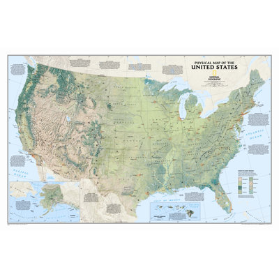
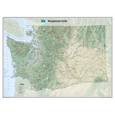
Washington State Wall Map
By National Geographic Maps
Laminated
Rated 4.8 out of 5 stars.4 total votes
$39.95
FREE Delivery
Low Stock
2 Colors
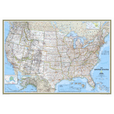
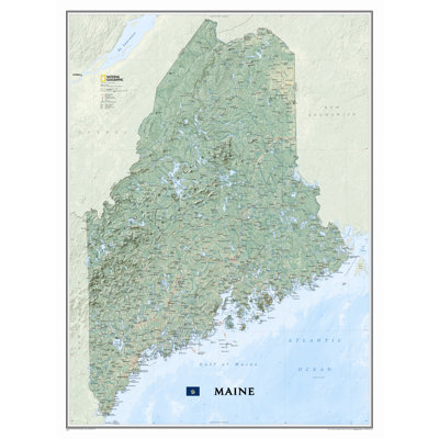
Maine State Wall Map
By National Geographic Maps
Laminated
Rated 4.4 out of 5 stars.13 total votes
$50.75
FREE Delivery
Low Stock