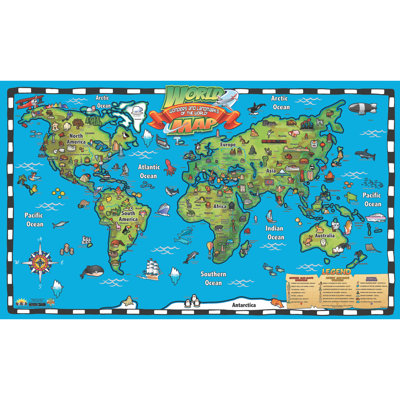
3 Colors, 3 Sizes
Home Magnetics W x H Dry Erase And Laminated World Map
By Home Magnetics
Blue, 34" H x 48" W x 1" D
Rated 4.6 out of 5 stars.87 total votes
$209.99 was$219.99
FREE Delivery
More Options
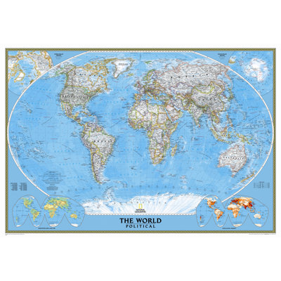
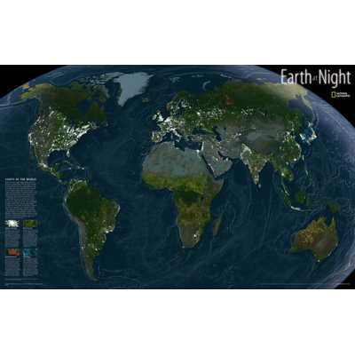
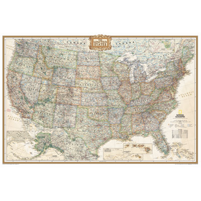
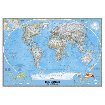
World Classic Wall Map
By National Geographic Maps
Standard (30" x 44") - Laminated
Rated 4.9 out of 5 stars.26 total votes
$44.94
FREE Delivery
3 Colors, 3 Sizes
Magnetic Travel Map 33x22 - Ocean Blue
By Home Magnetics
22" H x 33" W x 1" D, Blue
Rated 4.6 out of 5 stars.49 total votes
$84.99 was$87.99
FREE Delivery
More Options
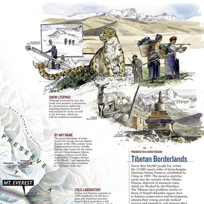
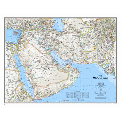
Middle East Wall Map
By National Geographic Maps
Tubed
Rated 4.7 out of 5 stars.3 total votes
$26.99

2 Colors
Home Magnetics 25'' W x 37'' H Dry Erase And Laminated World Map
By Home Magnetics
Gray
Rated 3 out of 5 stars.2 total votes
$113.99 was$179.00
FREE Delivery
More Options
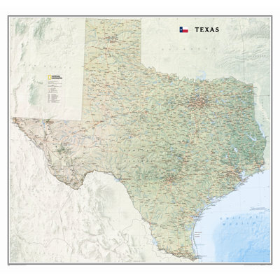
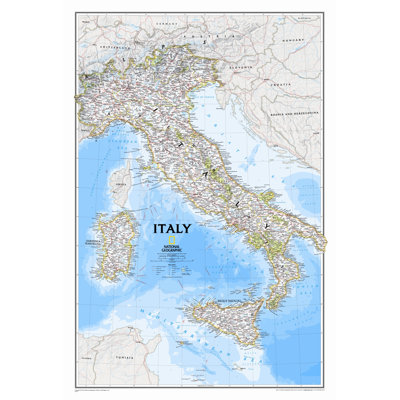
Italy Classic Wall Map
By National Geographic Maps
Tubed
Rated 4.5 out of 5 stars.12 total votes
$21.99
Low Stock